Distance to Pleasant Valley, Oregon

Calculating Your Route
Just a moment while we process your request...
Location Information
-
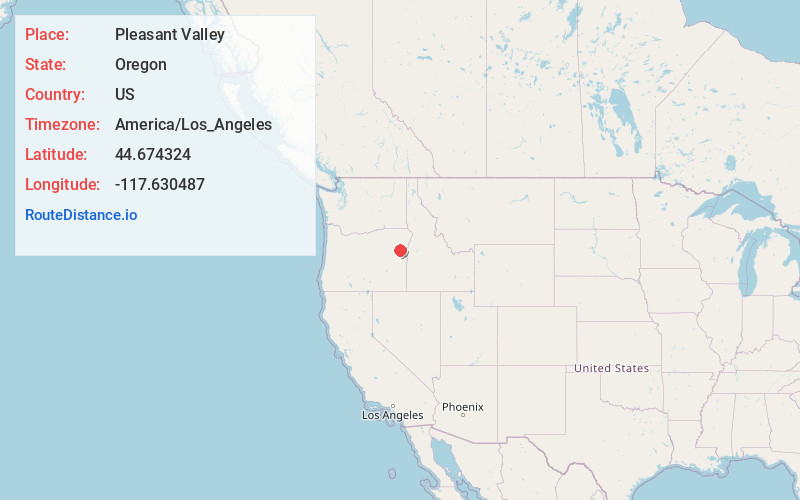
Full AddressPleasant Valley, OR 97814
-
Coordinates44.6743242, -117.6304869
-
LocationPleasant Valley , Oregon , US
-
TimezoneAmerica/Los_Angeles
-
Current Local Time4:35:14 AM America/Los_AngelesSunday, June 1, 2025
-
Page Views0
About Pleasant Valley
Pleasant Valley is an unincorporated community in Baker County, Oregon, United States. It is about 13 miles southeast of Baker City on U.S. Route 30, slightly bypassed by Interstate 84.

Nearby Places
Found 6 places within 50 miles

Baker City
12.2 mi
19.6 km
Baker City, OR 97814
Get directions

North Powder
28.3 mi
45.5 km
North Powder, OR 97867
Get directions

Huntington
28.6 mi
46.0 km
Huntington, OR 97907
Get directions

Union
38.7 mi
62.3 km
Union, OR 97883
Get directions

Weiser
43.8 mi
70.5 km
Weiser, ID 83672
Get directions

Cove
43.9 mi
70.7 km
Cove, OR 97824
Get directions
Location Links
Local Weather
Weather Information
Coming soon!
Location Map
Static map view of Pleasant Valley, Oregon
Browse Places by Distance
Places within specific distances from Pleasant Valley
Short Distances
Long Distances
Click any distance to see all places within that range from Pleasant Valley. Distances shown in miles (1 mile ≈ 1.61 kilometers).