Distance to Plevna, Kansas

Calculating Your Route
Just a moment while we process your request...
Location Information
-
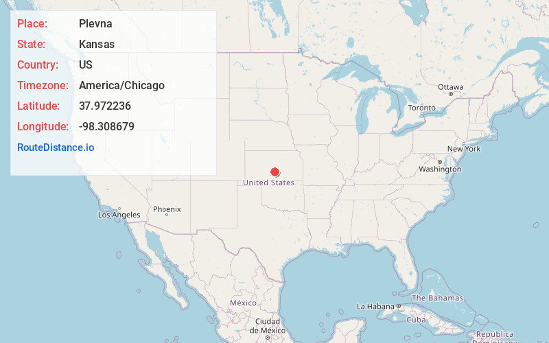
Full AddressPlevna, KS 67568
-
Coordinates37.9722362, -98.3086791
-
LocationPlevna , Kansas , US
-
TimezoneAmerica/Chicago
-
Current Local Time10:26:35 PM America/ChicagoSunday, June 29, 2025
-
Page Views0
About Plevna
Plevna is a city in Reno County, Kansas, United States. As of the 2020 census, the population of the city was 85.
Nearby Places
Found 10 places within 50 miles

Sylvia
5.5 mi
8.9 km
Sylvia, KS 67581
Get directions

Partridge
11.8 mi
19.0 km
Partridge, KS 67566
Get directions

Turon
13.1 mi
21.1 km
Turon, KS 67583
Get directions

Stafford
15.9 mi
25.6 km
Stafford, KS 67578
Get directions

Nickerson
17.2 mi
27.7 km
Nickerson, KS 67561
Get directions

Sterling
17.3 mi
27.8 km
Sterling, KS 67579
Get directions

Alden
18.7 mi
30.1 km
Alden, KS 67512
Get directions

Preston
19.9 mi
32.0 km
Preston, KS 67583
Get directions

South Hutchinson
20.4 mi
32.8 km
South Hutchinson, KS
Get directions
Pretty Prairie
20.6 mi
33.2 km
Pretty Prairie, KS 67570
Get directions
Location Links
Local Weather
Weather Information
Coming soon!
Location Map
Static map view of Plevna, Kansas
Browse Places by Distance
Places within specific distances from Plevna
Short Distances
Long Distances
Click any distance to see all places within that range from Plevna. Distances shown in miles (1 mile ≈ 1.61 kilometers).