Distance to Pocahontas, Tennessee

Calculating Your Route
Just a moment while we process your request...
Location Information
-
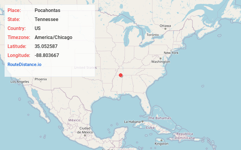
Full AddressPocahontas, TN 38061
-
Coordinates35.0525874, -88.8036666
-
LocationPocahontas , Tennessee , US
-
TimezoneAmerica/Chicago
-
Current Local Time8:45:12 PM America/ChicagoFriday, June 6, 2025
-
Page Views0
About Pocahontas
Pocahontas is an unincorporated community and census-designated place in Hardeman and McNairy counties, Tennessee, United States. It is eighty-three miles southeast of Memphis.
Pocahontas is a postal city with ZIP code 38061. Big Hill Pond State Park is nearby.


Nearby Places
Found 10 places within 50 miles

Middleton
5.0 mi
8.0 km
Middleton, TN 38052
Get directions

Walnut
9.2 mi
14.8 km
Walnut, MS 38683
Get directions

Ramer
10.3 mi
16.6 km
Ramer, TN 38367
Get directions

Hornsby
12.2 mi
19.6 km
Hornsby, TN
Get directions

Guys
13.9 mi
22.4 km
Guys, TN
Get directions

Selmer
14.4 mi
23.2 km
Selmer, TN 38375
Get directions
Eastview
14.7 mi
23.7 km
Eastview, TN
Get directions
Falkner
16.3 mi
26.2 km
Falkner, MS
Get directions

Bethel Springs
16.8 mi
27.0 km
Bethel Springs, TN 38315
Get directions

Bolivar
17.5 mi
28.2 km
Bolivar, TN 38008
Get directions
Location Links
Local Weather
Weather Information
Coming soon!
Location Map
Static map view of Pocahontas, Tennessee
Browse Places by Distance
Places within specific distances from Pocahontas
Short Distances
Long Distances
Click any distance to see all places within that range from Pocahontas. Distances shown in miles (1 mile ≈ 1.61 kilometers).