Distance to Pogo, Alabama

Calculating Your Route
Just a moment while we process your request...
Location Information
-
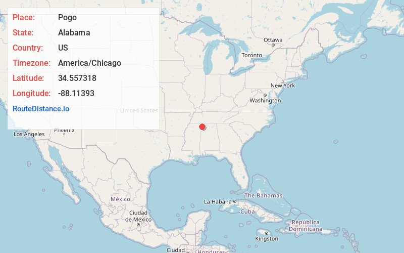
Full AddressPogo, AL 35582
-
Coordinates34.5573176, -88.1139299
-
LocationAlabama , US
-
TimezoneAmerica/Chicago
-
Current Local Time4:03:39 PM America/ChicagoMonday, June 2, 2025
-
Page Views0
About Pogo
Pogo is an unincorporated community in Franklin County, Alabama, United States, close to the border with Mississippi.
Nearby Places
Found 10 places within 50 miles

Bloody Springs
2.6 mi
4.2 km
Bloody Springs, MS 38827
Get directions
Mingo
5.6 mi
9.0 km
Mingo, MS 38873
Get directions
Burnstown
5.9 mi
9.5 km
Burnstown, AL 35616
Get directions

Belmont
6.3 mi
10.1 km
Belmont, MS
Get directions
Golden
6.4 mi
10.3 km
Golden, MS
Get directions
Dennis
6.4 mi
10.3 km
Dennis, MS 38838
Get directions
Petertown
7.1 mi
11.4 km
Petertown, MS 38873
Get directions
Bishop
7.5 mi
12.1 km
Bishop, AL 35616
Get directions
Carter Branch
7.8 mi
12.6 km
Carter Branch, MS 38873
Get directions

Red Bay
8.3 mi
13.4 km
Red Bay, AL 35582
Get directions
Location Links
Local Weather
Weather Information
Coming soon!
Location Map
Static map view of Pogo, Alabama
Browse Places by Distance
Places within specific distances from Pogo
Short Distances
Long Distances
Click any distance to see all places within that range from Pogo. Distances shown in miles (1 mile ≈ 1.61 kilometers).