Distance to Point Clear, Alabama

Calculating Your Route
Just a moment while we process your request...
Location Information
-
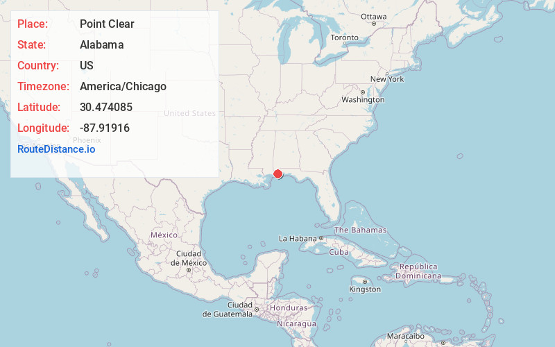
Full AddressPoint Clear, AL 36532
-
Coordinates30.4740845, -87.9191598
-
LocationPoint Clear , Alabama , US
-
TimezoneAmerica/Chicago
-
Current Local Time5:03:14 AM America/ChicagoSunday, June 15, 2025
-
Page Views0
About Point Clear
Point Clear is an unincorporated census-designated place in Baldwin County, Alabama, United States. As of the 2010 census, the population was 2,125. It is part of the Daphne-Fairhope-Foley metropolitan area.


Nearby Places
Found 10 places within 50 miles

Fairhope
3.5 mi
5.6 km
Fairhope, AL 36532
Get directions

Daphne
9.0 mi
14.5 km
Daphne, AL
Get directions

Spanish Fort
13.4 mi
21.6 km
Spanish Fort, AL
Get directions

Robertsdale
13.5 mi
21.7 km
Robertsdale, AL
Get directions

Loxley
14.0 mi
22.5 km
Loxley, AL
Get directions

Foley
14.8 mi
23.8 km
Foley, AL
Get directions

Bon Secour
15.7 mi
25.3 km
Bon Secour, AL
Get directions

Theodore
16.5 mi
26.6 km
Theodore, AL 36582
Get directions

Mobile
16.9 mi
27.2 km
Mobile, AL
Get directions

Tillmans Corner
17.3 mi
27.8 km
Tillmans Corner, AL
Get directions
Location Links
Local Weather
Weather Information
Coming soon!
Location Map
Static map view of Point Clear, Alabama
Browse Places by Distance
Places within specific distances from Point Clear
Short Distances
Long Distances
Click any distance to see all places within that range from Point Clear. Distances shown in miles (1 mile ≈ 1.61 kilometers).