Distance to Point Isabel, Indiana

Calculating Your Route
Just a moment while we process your request...
Location Information
-
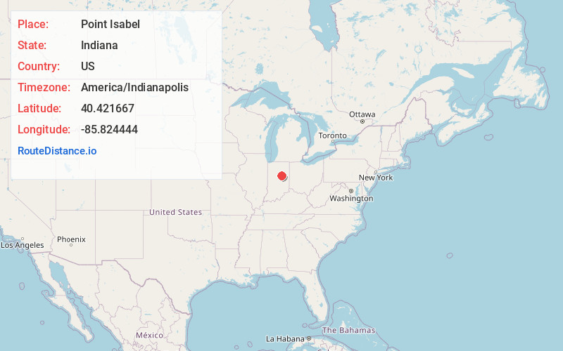
Full AddressPoint Isabel, IN 46928
-
Coordinates40.421667, -85.824444
-
LocationPoint Isabel , Indiana , US
-
TimezoneAmerica/Indianapolis
-
Page Views0
About Point Isabel
Point Isabel is an unincorporated community and census-designated place in central Green Township, Grant County, Indiana, United States. It lies at the intersection of State Roads 13 and 26. As of the 2010 census it had a population of 91.
Nearby Places
Found 10 places within 50 miles

Sims
5.6 mi
9.0 km
Sims, IN 46986
Get directions

Swayzee
6.0 mi
9.7 km
Swayzee, IN 46986
Get directions

Windfall
8.0 mi
12.9 km
Windfall, IN 46076
Get directions

Greentown
8.4 mi
13.5 km
Greentown, IN 46936
Get directions

Fairmount
9.2 mi
14.8 km
Fairmount, IN 46928
Get directions

Elwood
10.0 mi
16.1 km
Elwood, IN 46036
Get directions

Sweetser
10.8 mi
17.4 km
Sweetser, IN
Get directions

Converse
11.1 mi
17.9 km
Converse, IN 46919
Get directions

Summitville
11.1 mi
17.9 km
Summitville, IN 46070
Get directions

Jonesboro
11.1 mi
17.9 km
Jonesboro, IN
Get directions
Location Links
Local Weather
Weather Information
Coming soon!
Location Map
Static map view of Point Isabel, Indiana
Browse Places by Distance
Places within specific distances from Point Isabel
Short Distances
Long Distances
Click any distance to see all places within that range from Point Isabel. Distances shown in miles (1 mile ≈ 1.61 kilometers).