Distance to Point Lookout, Missouri

Calculating Your Route
Just a moment while we process your request...
Location Information
-
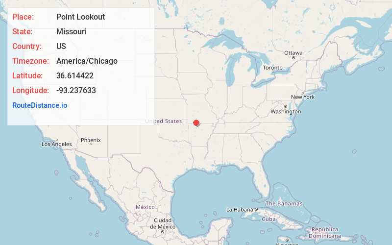
Full AddressPoint Lookout, MO 65672
-
Coordinates36.6144221, -93.2376334
-
LocationPoint Lookout , Missouri , US
-
TimezoneAmerica/Chicago
-
Current Local Time5:13:15 PM America/ChicagoThursday, June 19, 2025
-
Page Views0
About Point Lookout
Point Lookout is an unincorporated community in Oliver Township, Taney County, Missouri, United States, near Branson and Hollister. Point Lookout is in U.S. post office ZIP code 65726. Point Lookout is part of the Branson Micropolitan Statistical Area.


Nearby Places
Found 10 places within 50 miles

Hollister
1.3 mi
2.1 km
Hollister, MO 65672
Get directions

Branson
2.3 mi
3.7 km
Branson, MO 65616
Get directions

Melva
2.9 mi
4.7 km
Melva, Scott Township, MO 65672
Get directions
Gretna
3.6 mi
5.8 km
Gretna, MO 65616
Get directions

Kirbyville
4.1 mi
6.6 km
Kirbyville, MO
Get directions

Indian Point
6.0 mi
9.7 km
Indian Point, MO
Get directions
Edgewater Beach
6.2 mi
10.0 km
Edgewater Beach, MO 65653
Get directions
Ozark Beach
6.3 mi
10.1 km
Ozark Beach, Swan Township, MO 65653
Get directions
Garber
6.3 mi
10.1 km
Garber, MO 65616
Get directions

Powersite
7.1 mi
11.4 km
Powersite, MO 65731
Get directions
Location Links
Local Weather
Weather Information
Coming soon!
Location Map
Static map view of Point Lookout, Missouri
Browse Places by Distance
Places within specific distances from Point Lookout
Short Distances
Long Distances
Click any distance to see all places within that range from Point Lookout. Distances shown in miles (1 mile ≈ 1.61 kilometers).