Distance to Point Pleasant, Ohio

Calculating Your Route
Just a moment while we process your request...
Location Information
-
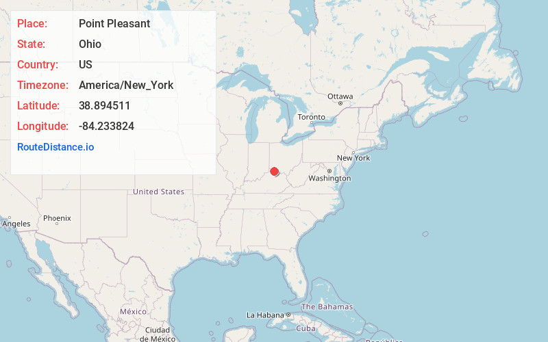
Full AddressPoint Pleasant, Monroe Township, OH 45157
-
Coordinates38.8945107, -84.2338243
-
LocationMonroe Township , Ohio , US
-
TimezoneAmerica/New_York
-
Current Local Time1:26:55 PM America/New_YorkThursday, June 19, 2025
-
Page Views0
About Point Pleasant
Point Pleasant is a small unincorporated community in southern Monroe Township, Clermont County, Ohio, United States. It is located on the Ohio River, around 25 miles southeast of Cincinnati. U.S. Route 52 passes through Point Pleasant, where it intersects State Route 232.

Nearby Places
Found 10 places within 50 miles

Mentor
0.8 mi
1.3 km
Mentor, KY 41007
Get directions
Flagg Spring
1.8 mi
2.9 km
Flagg Spring, KY 41007
Get directions
Clermontville
2.2 mi
3.5 km
Clermontville, Monroe Township, OH 45157
Get directions

California
2.3 mi
3.7 km
California, KY 41007
Get directions

Moscow
2.6 mi
4.2 km
Moscow, OH 45153
Get directions
Carntown
3.9 mi
6.3 km
Carntown, KY 41006
Get directions

New Richmond
4.7 mi
7.6 km
New Richmond, OH 45157
Get directions

Peach Grove
5.4 mi
8.7 km
Peach Grove, KY 41006
Get directions
Saltair
5.4 mi
8.7 km
Saltair, Tate Township, OH 45106
Get directions
Point Isabel
5.5 mi
8.9 km
Point Isabel, Washington Township, OH 45153
Get directions
Location Links
Local Weather
Weather Information
Coming soon!
Location Map
Static map view of Point Pleasant, Ohio
Browse Places by Distance
Places within specific distances from Point Pleasant
Short Distances
Long Distances
Click any distance to see all places within that range from Point Pleasant. Distances shown in miles (1 mile ≈ 1.61 kilometers).