Distance to Point Roberts, Washington

Calculating Your Route
Just a moment while we process your request...
Location Information
-
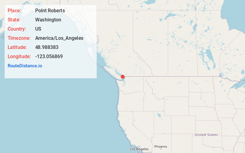
Full AddressPoint Roberts, WA
-
Coordinates48.9883827, -123.0568693
-
LocationPoint Roberts , Washington , US
-
TimezoneAmerica/Los_Angeles
-
Current Local Time1:37:15 AM America/Los_AngelesWednesday, June 4, 2025
-
Website
-
Page Views0
About Point Roberts
Point Roberts is a pene-exclave of Washington on the southernmost tip of the Tsawwassen peninsula, south of Vancouver, British Columbia. The area, which had a population of 1,191 at the 2020 census, is reached from the rest of the United States by traveling 25 mi through Canada, or by boat or private airplane.


Nearby Places
Found 10 places within 50 miles

Blaine
14.0 mi
22.5 km
Blaine, WA
Get directions

Birch Bay
15.0 mi
24.1 km
Birch Bay, WA
Get directions

Ferndale
23.3 mi
37.5 km
Ferndale, WA
Get directions

Marietta-Alderwood
26.2 mi
42.2 km
Marietta-Alderwood, WA
Get directions

Lynden
27.6 mi
44.4 km
Lynden, WA 98264
Get directions

Bellingham
30.9 mi
49.7 km
Bellingham, WA
Get directions

Friday Harbor
31.4 mi
50.5 km
Friday Harbor, WA 98250
Get directions

Everson
32.7 mi
52.6 km
Everson, WA 98247
Get directions

Nooksack
33.6 mi
54.1 km
Nooksack, WA
Get directions
Geneva
34.2 mi
55.0 km
Geneva, WA 98229
Get directions
Location Links
Local Weather
Weather Information
Coming soon!
Location Map
Static map view of Point Roberts, Washington
Browse Places by Distance
Places within specific distances from Point Roberts
Short Distances
Long Distances
Click any distance to see all places within that range from Point Roberts. Distances shown in miles (1 mile ≈ 1.61 kilometers).