Distance to Pointe à la Hache, Louisiana

Calculating Your Route
Just a moment while we process your request...
Location Information
-
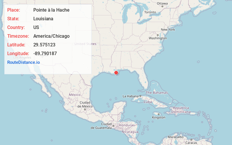
Full AddressPointe à la Hache, LA 70082
-
Coordinates29.5751225, -89.7901873
-
LocationPointe à la Hache , Louisiana , US
-
TimezoneAmerica/Chicago
-
Current Local Time9:01:47 PM America/ChicagoSunday, June 8, 2025
-
Page Views0
About Pointe à la Hache
Pointe à la Hache is a census-designated place and unincorporated community in Plaquemines Parish, Louisiana, United States. Located on the east bank of the Mississippi River, the village has been the seat for Plaquemines Parish since the formation of the parish.

Nearby Places
Found 10 places within 50 miles

Port Sulphur
8.7 mi
14.0 km
Port Sulphur, LA
Get directions

Empire
17.4 mi
28.0 km
Empire, LA
Get directions

Lafitte
20.1 mi
32.3 km
Lafitte, LA 70067
Get directions

Poydras
21.2 mi
34.1 km
Poydras, LA
Get directions

Barataria
22.5 mi
36.2 km
Barataria, LA 70036
Get directions

Belle Chasse
22.8 mi
36.7 km
Belle Chasse, LA
Get directions

Jean Lafitte
22.9 mi
36.9 km
Jean Lafitte, LA 70067
Get directions

Violet
23.1 mi
37.2 km
Violet, LA
Get directions
Timberlane
25.4 mi
40.9 km
Timberlane, LA 70056
Get directions

Meraux
25.6 mi
41.2 km
Meraux, LA
Get directions
Location Links
Local Weather
Weather Information
Coming soon!
Location Map
Static map view of Pointe à la Hache, Louisiana
Browse Places by Distance
Places within specific distances from Pointe à la Hache
Short Distances
Long Distances
Click any distance to see all places within that range from Pointe à la Hache. Distances shown in miles (1 mile ≈ 1.61 kilometers).