Distance to Pointe Coupee Parish, Louisiana

Calculating Your Route
Just a moment while we process your request...
Location Information
-
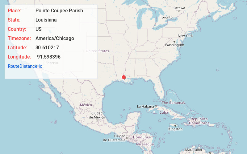
Full AddressPointe Coupee Parish, LA
-
Coordinates30.6102166, -91.5983959
-
LocationLouisiana , US
-
TimezoneAmerica/Chicago
-
Current Local Time11:15:37 PM America/ChicagoWednesday, June 18, 2025
-
Page Views0
About Pointe Coupee Parish
Pointe Coupee Parish is a parish located in the U.S. state of Louisiana. As of the 2020 census, the population was 20,758. The parish seat is New Roads.
Pointe Coupee Parish is part of the Baton Rouge, Louisiana Metropolitan Statistical Area.


Nearby Places
Found 10 places within 50 miles

Fordoche
1.5 mi
2.4 km
Fordoche, LA 70732
Get directions

Quick
4.0 mi
6.4 km
Quick, LA 70755
Get directions
Argyle
4.3 mi
6.9 km
Argyle, LA 70732
Get directions
Livonia
4.3 mi
6.9 km
Livonia, LA 70755
Get directions
Allon
6.6 mi
10.6 km
Allon, LA 70760
Get directions
Parlange
6.7 mi
10.8 km
Parlange, LA 70755
Get directions
Frogmore
7.7 mi
12.4 km
Frogmore, LA 70757
Get directions
Labarre
7.9 mi
12.7 km
Labarre, LA 70759
Get directions
Brownview
8.1 mi
13.0 km
Brownview, LA 70759
Get directions
Morrison
8.2 mi
13.2 km
Morrison, LA 70760
Get directions
Location Links
Local Weather
Weather Information
Coming soon!
Location Map
Static map view of Pointe Coupee Parish, Louisiana
Browse Places by Distance
Places within specific distances from Pointe Coupee Parish
Short Distances
Long Distances
Click any distance to see all places within that range from Pointe Coupee Parish. Distances shown in miles (1 mile ≈ 1.61 kilometers).