Distance to Pollards Corner, Georgia

Calculating Your Route
Just a moment while we process your request...
Location Information
-
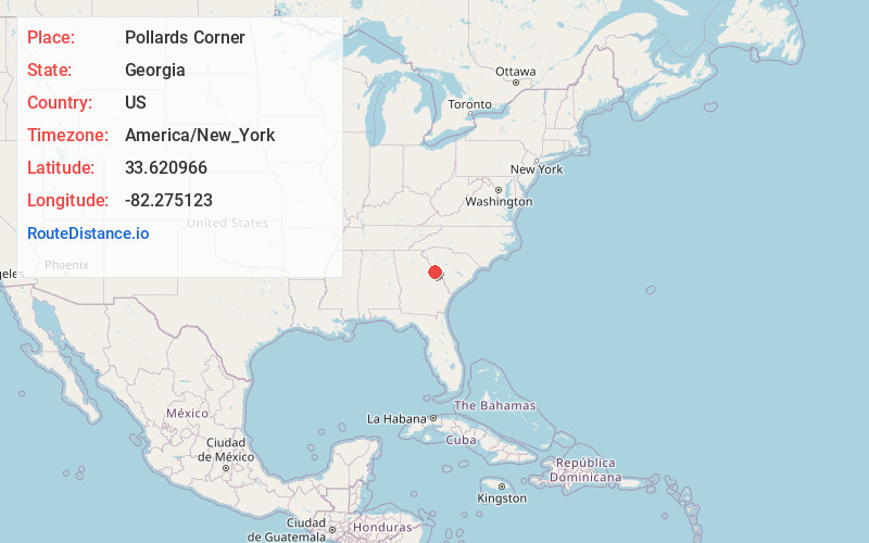
Full AddressPollards Corner, GA 30802
-
Coordinates33.6209662, -82.2751229
-
LocationPollards Corner , Georgia , US
-
TimezoneAmerica/New_York
-
Current Local Time11:40:41 PM America/New_YorkWednesday, June 4, 2025
-
Page Views0
Nearby Places
Found 10 places within 50 miles

Rosemont
1.9 mi
3.1 km
Rosemont, GA 30802
Get directions
Phinizy
3.0 mi
4.8 km
Phinizy, GA 30802
Get directions
Leah
4.5 mi
7.2 km
Leah, GA 30802
Get directions

Appling
5.7 mi
9.2 km
Appling, GA 30802
Get directions
Maddox
6.3 mi
10.1 km
Maddox, GA 30813
Get directions

Clarks Hill
6.8 mi
10.9 km
Clarks Hill, SC 29821
Get directions
Meriwether
7.0 mi
11.3 km
Meriwether, Clarks Hill, SC 29821
Get directions

Winfield
7.1 mi
11.4 km
Winfield, GA 30802
Get directions
Lewiston
8.7 mi
14.0 km
Lewiston, GA 30809
Get directions

Modoc
8.7 mi
14.0 km
Modoc, SC 29838
Get directions
Location Links
Local Weather
Weather Information
Coming soon!
Location Map
Static map view of Pollards Corner, Georgia
Browse Places by Distance
Places within specific distances from Pollards Corner
Short Distances
Long Distances
Click any distance to see all places within that range from Pollards Corner. Distances shown in miles (1 mile ≈ 1.61 kilometers).