Distance to Pollock, South Dakota

Calculating Your Route
Just a moment while we process your request...
Location Information
-
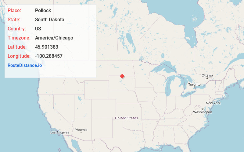
Full AddressPollock, SD 57648
-
Coordinates45.9013832, -100.2884568
-
LocationPollock , South Dakota , US
-
TimezoneAmerica/Chicago
-
Current Local Time7:42:06 PM America/ChicagoSunday, June 15, 2025
-
Page Views0
About Pollock
Pollock is a town in Campbell County, South Dakota, United States. The population was 224 at the time of the 2020 census.


Nearby Places
Found 10 places within 50 miles

Herreid
11.5 mi
18.5 km
Herreid, SD 57632
Get directions

Strasburg
17.2 mi
27.7 km
Strasburg, ND 58573
Get directions

Wakpala
20.7 mi
33.3 km
Wakpala, SD 57658
Get directions

Linton
25.4 mi
40.9 km
Linton, ND 58552
Get directions

McLaughlin
25.8 mi
41.5 km
McLaughlin, SD 57642
Get directions

Mobridge
26.0 mi
41.8 km
Mobridge, SD 57601
Get directions
Little Eagle
28.7 mi
46.2 km
Little Eagle, SD 57639
Get directions

Selby
30.0 mi
48.3 km
Selby, SD 57472
Get directions

Eureka
33.5 mi
53.9 km
Eureka, SD 57437
Get directions

Cannon Ball
36.8 mi
59.2 km
Cannon Ball, ND
Get directions
Location Links
Local Weather
Weather Information
Coming soon!
Location Map
Static map view of Pollock, South Dakota
Browse Places by Distance
Places within specific distances from Pollock
Short Distances
Long Distances
Click any distance to see all places within that range from Pollock. Distances shown in miles (1 mile ≈ 1.61 kilometers).