Distance to Pollock, Missouri

Calculating Your Route
Just a moment while we process your request...
Location Information
-
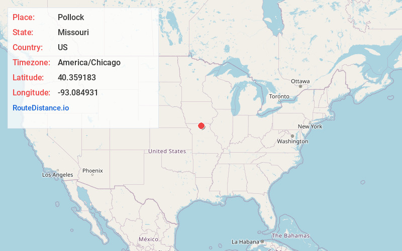
Full AddressPollock, MO 63560
-
Coordinates40.3591833, -93.0849309
-
LocationPollock , Missouri , US
-
TimezoneAmerica/Chicago
-
Current Local Time12:54:17 AM America/ChicagoSunday, June 1, 2025
-
Page Views0
About Pollock
Pollock is a village in north central Sullivan County, Missouri, United States. The population was 46 at the 2020 census.
Nearby Places
Found 10 places within 50 miles

Unionville
9.2 mi
14.8 km
Unionville, MO 63565
Get directions

Green City
9.3 mi
15.0 km
Green City, MO 63545
Get directions

Milan
11.1 mi
17.9 km
Milan, MO 63556
Get directions
Greencastle
12.8 mi
20.6 km
Greencastle, MO 63544
Get directions
Lucerne
13.1 mi
21.1 km
Lucerne, MO 64655
Get directions
Newtown
13.2 mi
21.2 km
Newtown, MO 64667
Get directions
Harris
14.5 mi
23.3 km
Harris, MO 64645
Get directions

Powersville
17.3 mi
27.8 km
Powersville, MO 64672
Get directions
Osgood
17.7 mi
28.5 km
Osgood, MO 64641
Get directions
Humphreys
20.3 mi
32.7 km
Humphreys, MO 64646
Get directions
Location Links
Local Weather
Weather Information
Coming soon!
Location Map
Static map view of Pollock, Missouri
Browse Places by Distance
Places within specific distances from Pollock
Short Distances
Long Distances
Click any distance to see all places within that range from Pollock. Distances shown in miles (1 mile ≈ 1.61 kilometers).