Distance to Pollocks, North Carolina

Calculating Your Route
Just a moment while we process your request...
Location Information
-
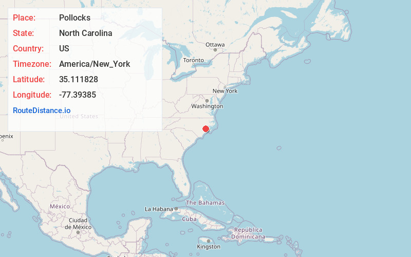
Full AddressPollocks, NC 28585
-
Coordinates35.111828, -77.3938497
-
LocationPollocks , North Carolina , US
-
TimezoneAmerica/New_York
-
Current Local Time10:48:35 PM America/New_YorkTuesday, June 3, 2025
-
Page Views0
Nearby Places
Found 10 places within 50 miles

Sassers Mill
3.4 mi
5.5 km
Sassers Mill, NC 28526
Get directions
Phillips Crossroads
3.4 mi
5.5 km
Phillips Crossroads, NC 28585
Get directions

Trenton
4.0 mi
6.4 km
Trenton, NC 28585
Get directions
Cove City
6.7 mi
10.8 km
Cove City, NC 28523
Get directions

Dover
7.6 mi
12.2 km
Dover, NC 28526
Get directions
Elm Grove
8.4 mi
13.5 km
Elm Grove, NC 28501
Get directions
Southwood
11.9 mi
19.2 km
Southwood, NC 28504
Get directions

Pollocksville
12.2 mi
19.6 km
Pollocksville, NC 28573
Get directions
Nobles Mill
14.0 mi
22.5 km
Nobles Mill, NC 28525
Get directions

River Bend
14.3 mi
23.0 km
River Bend, NC 28562
Get directions
Location Links
Local Weather
Weather Information
Coming soon!
Location Map
Static map view of Pollocks, North Carolina
Browse Places by Distance
Places within specific distances from Pollocks
Short Distances
Long Distances
Click any distance to see all places within that range from Pollocks. Distances shown in miles (1 mile ≈ 1.61 kilometers).