Distance to Polsgrove, Illinois

Calculating Your Route
Just a moment while we process your request...
Location Information
-
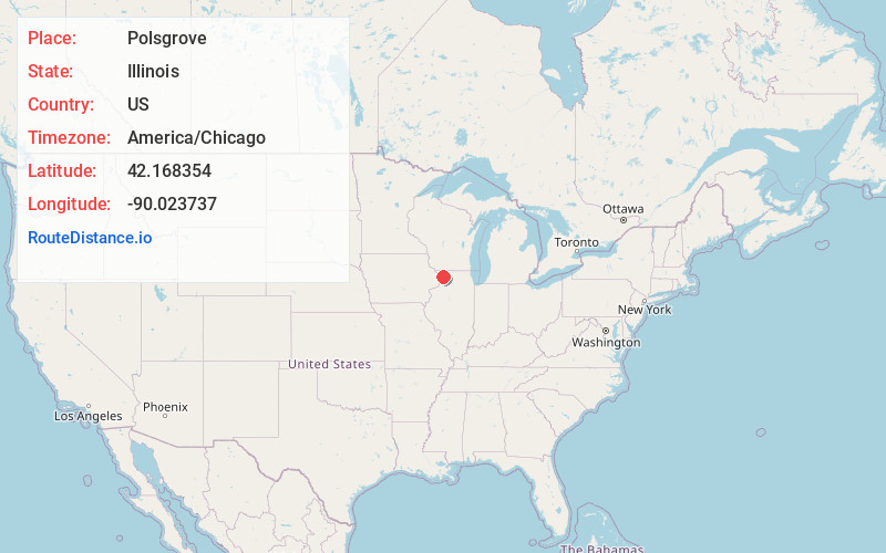
Full AddressPolsgrove, Woodland Township, IL 61053
-
Coordinates42.1683539, -90.0237367
-
LocationWoodland Township , Illinois , US
-
TimezoneAmerica/Chicago
-
Current Local Time7:40:55 PM America/ChicagoWednesday, June 18, 2025
-
Page Views0
About Polsgrove
Polsgrove is an unincorporated community in Carroll County, Illinois, United States. Polsgrove is 6 miles north-northwest of Mount Carroll.
Nearby Places
Found 10 places within 50 miles

Pleasant Valley
4.0 mi
6.4 km
Pleasant Valley, IL 61053
Get directions

Mt Carroll
5.6 mi
9.0 km
Mt Carroll, IL 61053
Get directions
Elmoville
6.8 mi
10.9 km
Elmoville, IL 61085
Get directions

Lake Carroll
7.3 mi
11.7 km
Lake Carroll, IL 61046
Get directions
Loran
7.4 mi
11.9 km
Loran, IL 61062
Get directions
Wacker
7.7 mi
12.4 km
Wacker, Mt Carroll Township, IL 61053
Get directions
Burke
8.1 mi
13.0 km
Burke, Mt Carroll Township, IL 61074
Get directions
Willow
8.5 mi
13.7 km
Willow, IL 61085
Get directions

Savanna
8.5 mi
13.7 km
Savanna, IL 61074
Get directions
Marcus
8.8 mi
14.2 km
Marcus, Washington Township, IL 61074
Get directions
Location Links
Local Weather
Weather Information
Coming soon!
Location Map
Static map view of Polsgrove, Illinois
Browse Places by Distance
Places within specific distances from Polsgrove
Short Distances
Long Distances
Click any distance to see all places within that range from Polsgrove. Distances shown in miles (1 mile ≈ 1.61 kilometers).