Distance to Pomeroy, Ohio

Calculating Your Route
Just a moment while we process your request...
Location Information
-
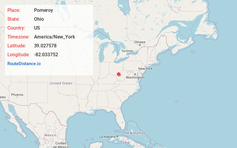
Full AddressPomeroy, OH
-
Coordinates39.0275781, -82.033752
-
LocationPomeroy , Ohio , US
-
TimezoneAmerica/New_York
-
Current Local Time7:36:29 PM America/New_YorkWednesday, June 4, 2025
-
Page Views0
About Pomeroy
Pomeroy is a village in Meigs County, Ohio, United States, and its county seat. It lies along the Ohio River about 21 miles south of Athens. The population was 1,573 at the 2020 census.


Nearby Places
Found 10 places within 50 miles

Middleport
2.0 mi
3.2 km
Middleport, OH
Get directions

New Haven
4.3 mi
6.9 km
New Haven, WV
Get directions

Point Pleasant
13.8 mi
22.2 km
Point Pleasant, WV
Get directions

Ravenswood
15.6 mi
25.1 km
Ravenswood, WV 26164
Get directions

Gallipolis
17.6 mi
28.3 km
Gallipolis, OH 45631
Get directions

Athens
21.2 mi
34.1 km
Athens, OH 45701
Get directions

Ripley
22.6 mi
36.4 km
Ripley, WV
Get directions

The Plains
24.2 mi
38.9 km
The Plains, OH
Get directions

Blennerhassett Island
27.4 mi
44.1 km
Blennerhassett Island, West Virginia 26101
Get directions

Wellston
27.6 mi
44.4 km
Wellston, OH
Get directions
Location Links
Local Weather
Weather Information
Coming soon!
Location Map
Static map view of Pomeroy, Ohio
Browse Places by Distance
Places within specific distances from Pomeroy
Short Distances
Long Distances
Click any distance to see all places within that range from Pomeroy. Distances shown in miles (1 mile ≈ 1.61 kilometers).