Distance to Pomfret, New York

Calculating Your Route
Just a moment while we process your request...
Location Information
-
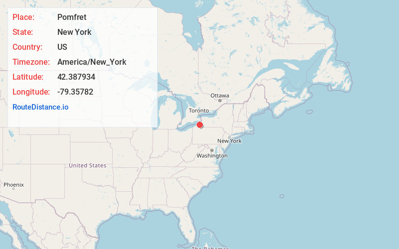
Full AddressPomfret, NY
-
Coordinates42.387934, -79.3578201
-
LocationPomfret , New York , US
-
TimezoneAmerica/New_York
-
Current Local Time1:47:28 PM America/New_YorkTuesday, July 1, 2025
-
Page Views0
About Pomfret
Pomfret is a town in Chautauqua County, New York, United States. The population was 13,236 at the 2020 census. The town lies in the north-central part of the county, south of Dunkirk, and includes the village of Fredonia.


Nearby Places
Found 10 places within 50 miles

Jamestown
21.1 mi
34.0 km
Jamestown, NY 14701
Get directions

Harborcreek Township
33.5 mi
53.9 km
Harborcreek Township, PA
Get directions

Hamburg
35.2 mi
56.6 km
Hamburg, NY 14075
Get directions

Lackawanna
40.7 mi
65.5 km
Lackawanna, NY
Get directions

Orchard Park
40.8 mi
65.7 km
Orchard Park, NY 14127
Get directions

Erie
41.3 mi
66.5 km
Erie, PA
Get directions

Buffalo
42.2 mi
67.9 km
Buffalo, NY
Get directions

West Seneca
43.6 mi
70.2 km
West Seneca, NY
Get directions

Kenmore
47.0 mi
75.6 km
Kenmore, NY 14217
Get directions

Cheektowaga
47.2 mi
76.0 km
Cheektowaga, NY
Get directions
Location Links
Local Weather
Weather Information
Coming soon!
Location Map
Static map view of Pomfret, New York
Browse Places by Distance
Places within specific distances from Pomfret
Short Distances
Long Distances
Click any distance to see all places within that range from Pomfret. Distances shown in miles (1 mile ≈ 1.61 kilometers).