Distance to Pomfret, Vermont

Calculating Your Route
Just a moment while we process your request...
Location Information
-
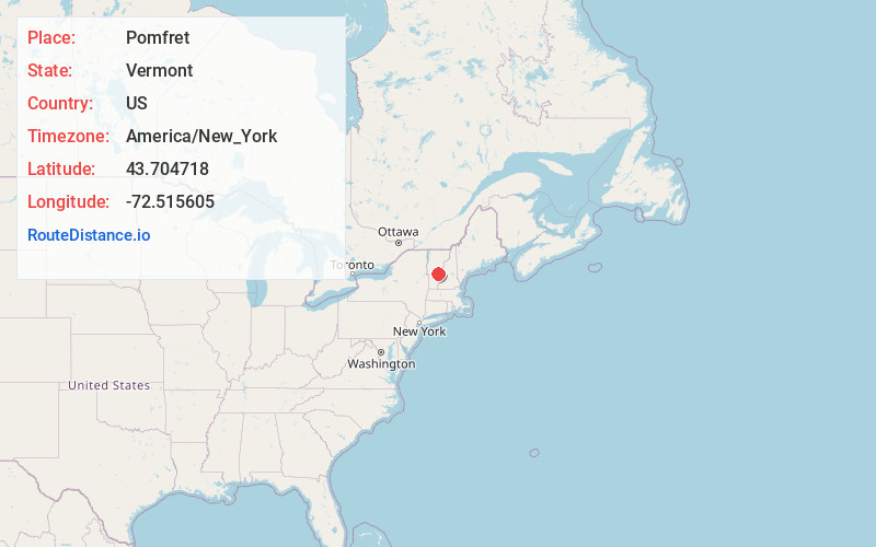
Full AddressPomfret, VT
-
Coordinates43.7047183, -72.5156054
-
LocationPomfret , Vermont , US
-
TimezoneAmerica/New_York
-
Current Local Time7:11:12 PM America/New_YorkFriday, June 20, 2025
-
Page Views0
About Pomfret
Pomfret is a town in Windsor County, Vermont, United States. The population was 916 at the 2020 census.


Nearby Places
Found 10 places within 50 miles

Barnard
5.4 mi
8.7 km
Barnard, VT
Get directions

Woodstock
5.6 mi
9.0 km
Woodstock, VT
Get directions

Sharon
6.3 mi
10.1 km
Sharon, VT
Get directions

Hartford
7.8 mi
12.6 km
Hartford, VT
Get directions

Royalton
7.9 mi
12.7 km
Royalton, VT
Get directions

Bridgewater
9.7 mi
15.6 km
Bridgewater, VT
Get directions

Norwich
10.4 mi
16.7 km
Norwich, VT
Get directions

Bethel
10.7 mi
17.2 km
Bethel, VT
Get directions

Hanover
11.3 mi
18.2 km
Hanover, NH
Get directions

Hartland
12.8 mi
20.6 km
Hartland, VT
Get directions
Location Links
Local Weather
Weather Information
Coming soon!
Location Map
Static map view of Pomfret, Vermont
Browse Places by Distance
Places within specific distances from Pomfret
Short Distances
Long Distances
Click any distance to see all places within that range from Pomfret. Distances shown in miles (1 mile ≈ 1.61 kilometers).