Distance to Pomona, Maryland

Calculating Your Route
Just a moment while we process your request...
Location Information
-
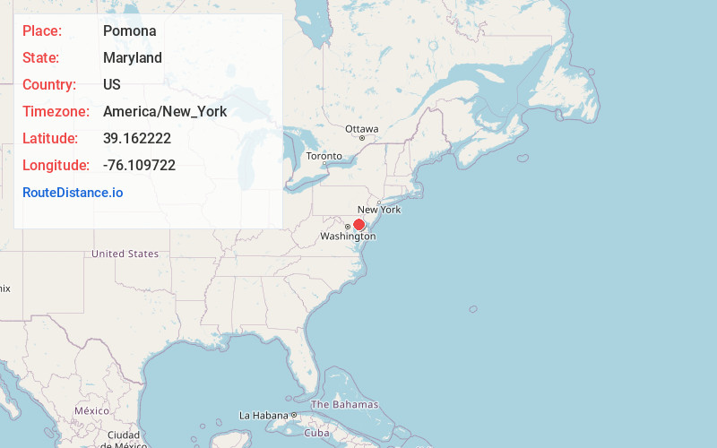
Full AddressPomona, MD 21620
-
Coordinates39.162222, -76.109722
-
LocationPomona , Maryland , US
-
TimezoneAmerica/New_York
-
Current Local Time2:36:44 PM America/New_YorkThursday, June 12, 2025
-
Page Views0
About Pomona
Pomona is an unincorporated community in Kent County, Maryland, United States. It is located at the intersection of MD-289 and Pomona Road, 4.5 miles southwest of Chestertown. Pomona is home to the last remaining country store in Kent County.
Nearby Places
Found 10 places within 50 miles

Johnsontown
1.7 mi
2.7 km
Johnsontown, MD 21620
Get directions
Langford
2.5 mi
4.0 km
Langford, MD 21620
Get directions
Riverview
2.7 mi
4.3 km
Riverview, MD 21617
Get directions
Wilmers
3.3 mi
5.3 km
Wilmers, MD 21617
Get directions
Remington Farms
3.5 mi
5.6 km
Remington Farms, MD 21620
Get directions
Cliffs City
3.7 mi
6.0 km
Cliffs City, MD 21620
Get directions
Rolphs
4.0 mi
6.4 km
Rolphs, MD 21620
Get directions

Kingstown
4.3 mi
6.9 km
Kingstown, MD 21620
Get directions

Chestertown
4.5 mi
7.2 km
Chestertown, MD 21620
Get directions
Sandy Bottom
4.5 mi
7.2 km
Sandy Bottom, MD 21620
Get directions
Location Links
Local Weather
Weather Information
Coming soon!
Location Map
Static map view of Pomona, Maryland
Browse Places by Distance
Places within specific distances from Pomona
Short Distances
Long Distances
Click any distance to see all places within that range from Pomona. Distances shown in miles (1 mile ≈ 1.61 kilometers).