Distance to Pompey Center, New York

Calculating Your Route
Just a moment while we process your request...
Location Information
-
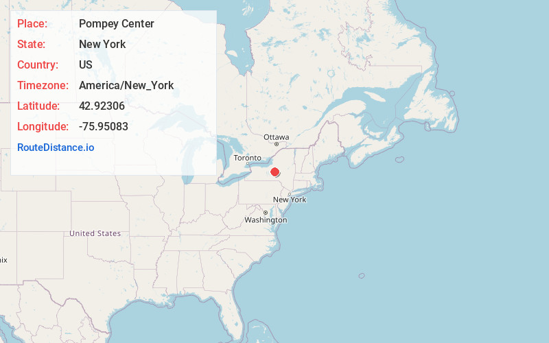
Full AddressPompey Center, NY 13104
-
Coordinates42.92306, -75.95083
-
LocationPompey Center , New York , US
-
TimezoneAmerica/New_York
-
Current Local Time5:25:31 AM America/New_YorkSaturday, June 28, 2025
-
Page Views0
About Pompey Center
Pompey Center is a hamlet in the town of Pompey in Onondaga County, New York, United States. It is the location of Pompey Centre District No. 10 Schoolhouse, a historic one-room schoolhouse listed on the U.S. National Register of Historic Places.
Nearby Places
Found 10 places within 50 miles

Watervale
2.4 mi
3.9 km
Watervale, Pompey, NY 13104
Get directions

Delphi Falls
3.7 mi
6.0 km
Delphi Falls, NY 13104
Get directions
Rippleton
4.2 mi
6.8 km
Rippleton, Cazenovia, NY 13035
Get directions
Buellville
4.4 mi
7.1 km
Buellville, Pompey, NY 13104
Get directions

Cazenovia
5.0 mi
8.0 km
Cazenovia, NY 13035
Get directions
Ballina
5.5 mi
8.9 km
Ballina, Cazenovia, NY 13035
Get directions
Peck Hill
5.5 mi
8.9 km
Peck Hill, Manlius, NY 13104
Get directions

Manlius
5.6 mi
9.0 km
Manlius, NY 13104
Get directions
Eagle Village
6.2 mi
10.0 km
Eagle Village, Manlius, NY 13104
Get directions
West Woodstock
6.3 mi
10.1 km
West Woodstock, Cazenovia, NY 13122
Get directions
Location Links
Local Weather
Weather Information
Coming soon!
Location Map
Static map view of Pompey Center, New York
Browse Places by Distance
Places within specific distances from Pompey Center
Short Distances
Long Distances
Click any distance to see all places within that range from Pompey Center. Distances shown in miles (1 mile ≈ 1.61 kilometers).