Distance to Pongo, Kentucky

Calculating Your Route
Just a moment while we process your request...
Location Information
-
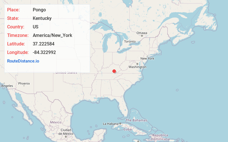
Full AddressPongo, KY 40456
-
Coordinates37.2225838, -84.3229924
-
LocationKentucky , US
-
TimezoneAmerica/New_York
-
Current Local Time1:16:51 PM America/New_YorkTuesday, June 24, 2025
-
Page Views0
About Pongo
Pongo, is an unincorporated community in Rockcastle County, Kentucky, United States. It is located on Kentucky Route 1249 south of Mount Vernon.
Nearby Places
Found 10 places within 50 miles

Bloss
2.1 mi
3.4 km
Bloss, KY 40456
Get directions
Conrard
3.4 mi
5.5 km
Conrard, KY 42503
Get directions
Billows
3.9 mi
6.3 km
Billows, KY 40744
Get directions
Hansford
4.2 mi
6.8 km
Hansford, KY 40456
Get directions
Vanhook
4.4 mi
7.1 km
Vanhook, KY 42503
Get directions
Squib
4.6 mi
7.4 km
Squib, KY 42501
Get directions
Plato
5.3 mi
8.5 km
Plato, KY 42503
Get directions
Sinking Valley
5.4 mi
8.7 km
Sinking Valley, KY 42503
Get directions
Sand Springs
5.5 mi
8.9 km
Sand Springs, KY 40456
Get directions
Sandy Gap
5.5 mi
8.9 km
Sandy Gap, KY 42501
Get directions
Location Links
Local Weather
Weather Information
Coming soon!
Location Map
Static map view of Pongo, Kentucky
Browse Places by Distance
Places within specific distances from Pongo
Short Distances
Long Distances
Click any distance to see all places within that range from Pongo. Distances shown in miles (1 mile ≈ 1.61 kilometers).