Distance to Ponkapoag, Massachusetts

Calculating Your Route
Just a moment while we process your request...
Location Information
-
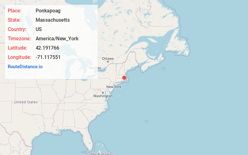
Full AddressPonkapoag, Canton, MA 02021
-
Coordinates42.1917658, -71.1175507
-
LocationCanton , Massachusetts , US
-
TimezoneAmerica/New_York
-
Current Local Time10:46:53 AM America/New_YorkTuesday, June 24, 2025
-
Page Views0
About Ponkapoag
Ponkapoag, also Punkapaug, Punkapoag, Ponkhapoag or Punkapog, is the name of a Native American "praying town" settled in the late 17th century western Blue Hills area of eastern Massachusetts by persons who had accepted Christianity.
Nearby Places
Found 10 places within 50 miles

Summer Heights
1.7 mi
2.7 km
Summer Heights, Canton, MA 02021
Get directions

Hillside Pond
2.4 mi
3.9 km
Hillside Pond, Milton, MA 02186
Get directions

Canton
2.7 mi
4.3 km
Canton, MA
Get directions
Springdale
2.7 mi
4.3 km
Springdale, Canton, MA 02021
Get directions
North Randolph
2.9 mi
4.7 km
North Randolph, Randolph, MA 02368
Get directions
Readville Manor
2.9 mi
4.7 km
Readville Manor, Dedham, MA 02026
Get directions
Greenlodge
3.0 mi
4.8 km
Greenlodge, Dedham, MA 02026
Get directions
Endicott
3.4 mi
5.5 km
Endicott, Dedham, MA 02026
Get directions
North Stoughton
3.6 mi
5.8 km
North Stoughton, Stoughton, MA 02072
Get directions
Oakdale
3.8 mi
6.1 km
Oakdale, Dedham, MA 02026
Get directions
Location Links
Local Weather
Weather Information
Coming soon!
Location Map
Static map view of Ponkapoag, Massachusetts
Browse Places by Distance
Places within specific distances from Ponkapoag
Short Distances
Long Distances
Click any distance to see all places within that range from Ponkapoag. Distances shown in miles (1 mile ≈ 1.61 kilometers).