Distance to Ponsford, Minnesota

Calculating Your Route
Just a moment while we process your request...
Location Information
-
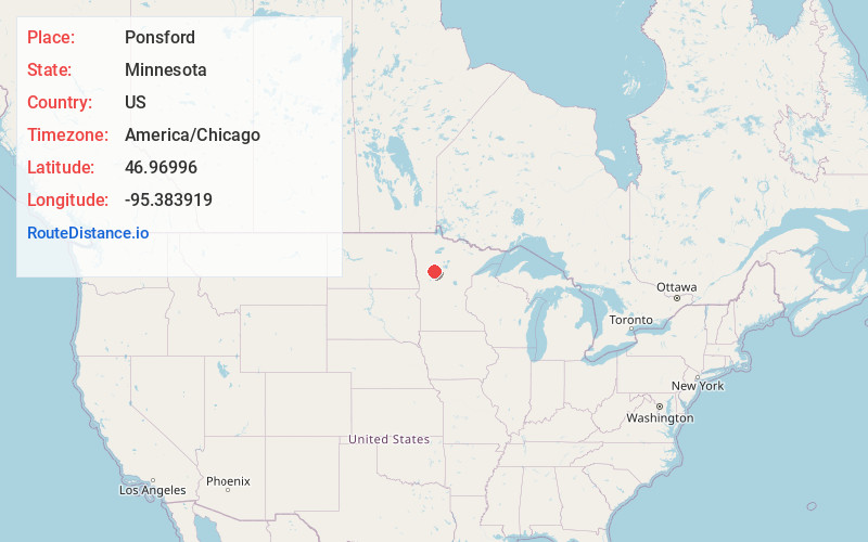
Full AddressPonsford, MN 56575
-
Coordinates46.9699602, -95.3839188
-
LocationPonsford , Minnesota , US
-
TimezoneAmerica/Chicago
-
Current Local Time6:53:30 PM America/ChicagoSunday, June 8, 2025
-
Page Views0
About Ponsford
Ponsford is an unincorporated community in Becker County, Minnesota, United States. It is west of Park Rapids on former Minnesota State Highway 225.
Minnesota State Highway 34 is nearby.


Nearby Places
Found 10 places within 50 miles

Pine Point
0.5 mi
0.8 km
Pine Point, MN 56575
Get directions
Snellman
5.7 mi
9.2 km
Snellman, MN 56570
Get directions

Osage
6.9 mi
11.1 km
Osage, MN 56570
Get directions
Two Inlets
9.7 mi
15.6 km
Two Inlets, MN 56470
Get directions
Goldenrod
11.1 mi
17.9 km
Goldenrod, MN 56470
Get directions

Wolf Lake
11.6 mi
18.7 km
Wolf Lake, MN
Get directions
Arago
11.9 mi
19.2 km
Arago, MN 56470
Get directions
Midway
14.2 mi
22.9 km
Midway, MN 56464
Get directions
Evergreen
14.9 mi
24.0 km
Evergreen, MN 56544
Get directions

Park Rapids
15.7 mi
25.3 km
Park Rapids, MN 56470
Get directions
Location Links
Local Weather
Weather Information
Coming soon!
Location Map
Static map view of Ponsford, Minnesota
Browse Places by Distance
Places within specific distances from Ponsford
Short Distances
Long Distances
Click any distance to see all places within that range from Ponsford. Distances shown in miles (1 mile ≈ 1.61 kilometers).