Distance to Pontchartrain Shores, Michigan

Calculating Your Route
Just a moment while we process your request...
Location Information
-
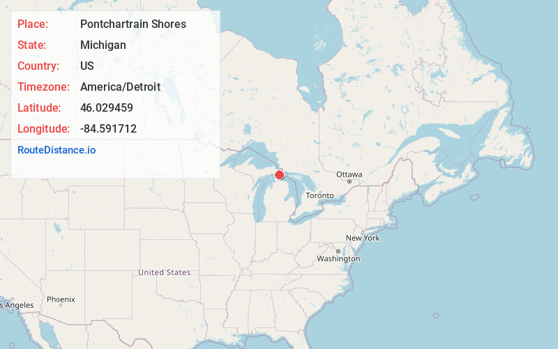
Full AddressPontchartrain Shores, MI 49745
-
Coordinates46.0294588, -84.5917121
-
LocationPontchartrain Shores , Michigan , US
-
TimezoneAmerica/Detroit
-
Current Local Time9:30:24 AM America/DetroitThursday, June 12, 2025
-
Page Views0
Nearby Places
Found 10 places within 50 miles

Simmons
4.6 mi
7.4 km
Simmons, MI 49745
Get directions
Patrick Landing
10.7 mi
17.2 km
Patrick Landing, MI 49719
Get directions

Cedarville
11.2 mi
18.0 km
Cedarville, MI 49719
Get directions
Allenville
11.4 mi
18.3 km
Allenville, MI 49760
Get directions
Rockview
11.6 mi
18.7 km
Rockview, MI 49774
Get directions

Clark Township
12.1 mi
19.5 km
Clark Township, MI
Get directions

Rudyard Township
12.2 mi
19.6 km
Rudyard Township, MI
Get directions

Mackinac Island
12.5 mi
20.1 km
Mackinac Island, MI 49757
Get directions

St Ignace
12.6 mi
20.3 km
St Ignace, MI 49781
Get directions

Brevort Township
13.0 mi
20.9 km
Brevort Township, MI
Get directions
Location Links
Local Weather
Weather Information
Coming soon!
Location Map
Static map view of Pontchartrain Shores, Michigan
Browse Places by Distance
Places within specific distances from Pontchartrain Shores
Short Distances
Long Distances
Click any distance to see all places within that range from Pontchartrain Shores. Distances shown in miles (1 mile ≈ 1.61 kilometers).