Distance to Pooletown, North Carolina

Calculating Your Route
Just a moment while we process your request...
Location Information
-
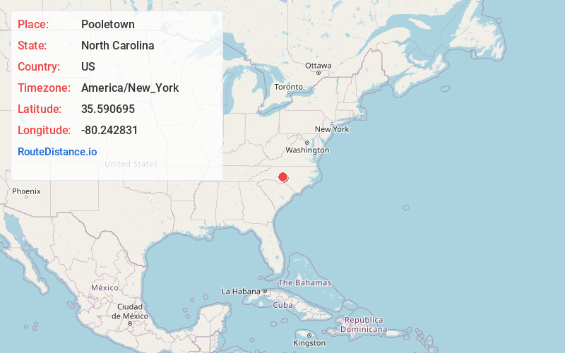
Full AddressPooletown, NC 28137
-
Coordinates35.5906948, -80.2428313
-
LocationPooletown , North Carolina , US
-
TimezoneAmerica/New_York
-
Current Local Time2:38:09 PM America/New_YorkTuesday, July 1, 2025
-
Page Views0
Nearby Places
Found 10 places within 50 miles

Morgan Ford
1.1 mi
1.8 km
Morgan Ford, NC 28137
Get directions
Healing Springs
4.0 mi
6.4 km
Healing Springs, NC 27239
Get directions
Newsom
4.9 mi
7.9 km
Newsom, NC 27239
Get directions

High Rock Lake
5.4 mi
8.7 km
High Rock Lake, North Carolina
Get directions
Jackson Hill
5.4 mi
8.7 km
Jackson Hill, NC 27239
Get directions

Southmont
5.5 mi
8.9 km
Southmont, NC 27292
Get directions
Feezor
6.9 mi
11.1 km
Feezor, NC 27292
Get directions

Gold Hill
7.2 mi
11.6 km
Gold Hill, NC 28071
Get directions

Denton
7.7 mi
12.4 km
Denton, NC
Get directions
Misenheimer
7.7 mi
12.4 km
Misenheimer, NC 28137
Get directions
Location Links
Local Weather
Weather Information
Coming soon!
Location Map
Static map view of Pooletown, North Carolina
Browse Places by Distance
Places within specific distances from Pooletown
Short Distances
Long Distances
Click any distance to see all places within that range from Pooletown. Distances shown in miles (1 mile ≈ 1.61 kilometers).