Distance to Poplar Branch, North Carolina

Calculating Your Route
Just a moment while we process your request...
Location Information
-
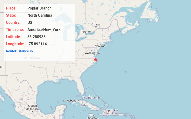
Full AddressPoplar Branch, NC
-
Coordinates36.2809379, -75.8921135
-
LocationPoplar Branch , North Carolina , US
-
TimezoneAmerica/New_York
-
Current Local Time1:10:26 PM America/New_YorkTuesday, June 17, 2025
-
Page Views0
About Poplar Branch
Poplar Branch is an unincorporated community in Currituck County, North Carolina, United States. It lies at an elevation of 13 feet.
The Baum Site was listed on the National Register of Historic Places in 1980.
Poplar Branch has a post office with the ZIP code 27965.
Nearby Places
Found 10 places within 50 miles

Bertha
1.2 mi
1.9 km
Bertha, NC 27965
Get directions

Grandy
2.8 mi
4.5 km
Grandy, NC
Get directions

Coinjock
5.4 mi
8.7 km
Coinjock, NC
Get directions
Olds
7.5 mi
12.1 km
Olds, NC 27947
Get directions

Powells Point
8.7 mi
14.0 km
Powells Point, NC 27966
Get directions

Duck
10.8 mi
17.4 km
Duck, NC
Get directions
Mamie
11.0 mi
17.7 km
Mamie, NC 27966
Get directions
Spot
12.0 mi
19.3 km
Spot, NC 27941
Get directions

Harbinger
13.1 mi
21.1 km
Harbinger, NC 27941
Get directions

Southern Shores
13.3 mi
21.4 km
Southern Shores, NC 27949
Get directions
Location Links
Local Weather
Weather Information
Coming soon!
Location Map
Static map view of Poplar Branch, North Carolina
Browse Places by Distance
Places within specific distances from Poplar Branch
Short Distances
Long Distances
Click any distance to see all places within that range from Poplar Branch. Distances shown in miles (1 mile ≈ 1.61 kilometers).