Distance to Poplar Hill, South Carolina

Calculating Your Route
Just a moment while we process your request...
Location Information
-
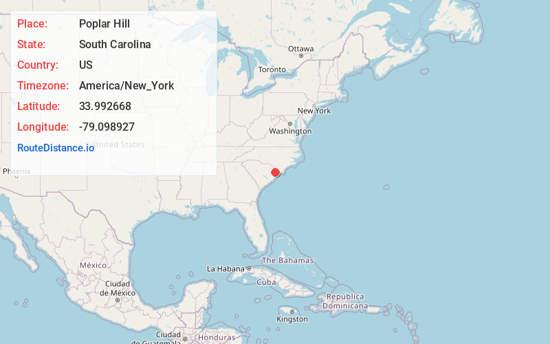
Full AddressPoplar Hill, SC 29511
-
Coordinates33.992668, -79.0989272
-
LocationPoplar Hill , South Carolina , US
-
TimezoneAmerica/New_York
-
Current Local Time11:54:23 AM America/New_YorkSunday, June 22, 2025
-
Page Views0
Nearby Places
Found 10 places within 50 miles

Baker Crossroads
2.4 mi
3.9 km
Baker Crossroads, SC 29511
Get directions
Cool Spring
2.5 mi
4.0 km
Cool Spring, SC 29511
Get directions
Chinners
2.8 mi
4.5 km
Chinners, SC 29511
Get directions
Booth
3.7 mi
6.0 km
Booth, SC 29511
Get directions
Baxter Forks
4.8 mi
7.7 km
Baxter Forks, SC 29526
Get directions

Aynor
5.8 mi
9.3 km
Aynor, SC
Get directions
Brown Bay
5.9 mi
9.5 km
Brown Bay, SC 29526
Get directions
Allen
6.0 mi
9.7 km
Allen, SC 29526
Get directions
Maple Crossroads
7.3 mi
11.7 km
Maple Crossroads, SC 29526
Get directions
Homewood
7.7 mi
12.4 km
Homewood, SC 29526
Get directions
Location Links
Local Weather
Weather Information
Coming soon!
Location Map
Static map view of Poplar Hill, South Carolina
Browse Places by Distance
Places within specific distances from Poplar Hill
Short Distances
Long Distances
Click any distance to see all places within that range from Poplar Hill. Distances shown in miles (1 mile ≈ 1.61 kilometers).