Distance to Port Allen, Louisiana

Calculating Your Route
Just a moment while we process your request...
Location Information
-
Full AddressPort Allen, LA 70767
-
Coordinates30.4474878, -91.2073261
-
LocationPort Allen , Louisiana , US
-
TimezoneAmerica/Chicago
-
Current Local Time12:48:58 PM America/ChicagoWednesday, June 18, 2025
-
Website
-
Page Views0
About Port Allen
Port Allen is a city in, and the parish seat of, West Baton Rouge Parish, Louisiana, United States. Located on the west bank of the Mississippi River, it is bordered by Interstate 10 and US Highway 190. The population was 4,939 in 2020. It is part of the Baton Rouge metropolitan statistical area.


Nearby Places
Found 10 places within 50 miles

Baton Rouge
1.2 mi
1.9 km
Baton Rouge, LA
Get directions

Merrydale
7.0 mi
11.3 km
Merrydale, LA
Get directions

Addis
7.3 mi
11.7 km
Addis, LA
Get directions

Inniswold
7.9 mi
12.7 km
Inniswold, LA
Get directions

Brownfields
8.6 mi
13.8 km
Brownfields, LA 70811
Get directions

Baker
10.0 mi
16.1 km
Baker, LA
Get directions

Plaquemine
11.1 mi
17.9 km
Plaquemine, LA 70764
Get directions

Old Jefferson
12.2 mi
19.6 km
Old Jefferson, LA 70817
Get directions

Central
12.5 mi
20.1 km
Central, LA
Get directions
Shenandoah
12.7 mi
20.4 km
Shenandoah, LA
Get directions
Location Links
Local Weather
Weather Information
Coming soon!
Location Map
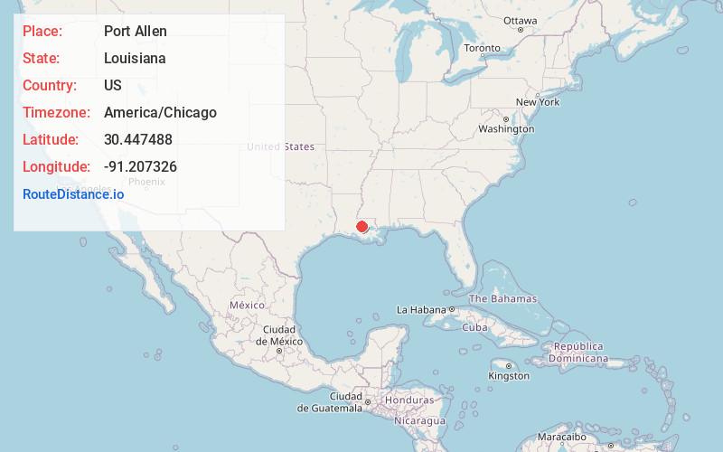
Static map view of Port Allen, Louisiana
Browse Places by Distance
Places within specific distances from Port Allen
Short Distances
Long Distances
Click any distance to see all places within that range from Port Allen. Distances shown in miles (1 mile ≈ 1.61 kilometers).