Distance to Port Aransas, Texas

Calculating Your Route
Just a moment while we process your request...
Location Information
-
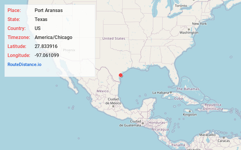
Full AddressPort Aransas, TX
-
Coordinates27.8339158, -97.0610994
-
LocationPort Aransas , Texas , US
-
TimezoneAmerica/Chicago
-
Current Local Time10:47:18 PM America/ChicagoSunday, June 29, 2025
-
Page Views0
About Port Aransas
Port Aransas is a city on Mustang Island, on the Texas coast. It's known for its Gulf of Mexico beaches and fish-filled waterways. Roberts Point Park offers an observation tower for bay views and dolphin sightings. At Leonabelle Turnbull Birding Center, a boardwalk crosses alligator-inhabited wetlands that are also home to birds like roseate spoonbills. Boats run from Fisherman's Wharf to secluded San José Island.


Nearby Places
Found 8 places within 50 miles

Aransas Pass
7.6 mi
12.2 km
Aransas Pass, TX
Get directions

Ingleside
9.7 mi
15.6 km
Ingleside, TX
Get directions

Rockport
13.4 mi
21.6 km
Rockport, TX
Get directions

Portland
16.3 mi
26.2 km
Portland, TX
Get directions

Corpus Christi
20.6 mi
33.2 km
Corpus Christi, TX
Get directions

Sinton
30.7 mi
49.4 km
Sinton, TX
Get directions

Robstown
37.3 mi
60.0 km
Robstown, TX 78380
Get directions

Bishop
48.3 mi
77.7 km
Bishop, TX 78343
Get directions
Location Links
Local Weather
Weather Information
Coming soon!
Location Map
Static map view of Port Aransas, Texas
Browse Places by Distance
Places within specific distances from Port Aransas
Short Distances
Long Distances
Click any distance to see all places within that range from Port Aransas. Distances shown in miles (1 mile ≈ 1.61 kilometers).