Distance to Port Barre, Louisiana

Calculating Your Route
Just a moment while we process your request...
Location Information
-
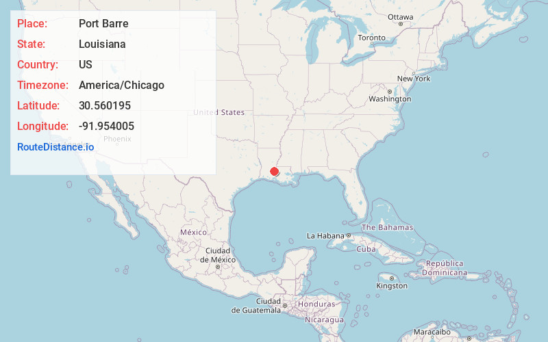
Full AddressPort Barre, LA 70577
-
Coordinates30.5601953, -91.9540054
-
LocationPort Barre , Louisiana , US
-
TimezoneAmerica/Chicago
-
Current Local Time5:43:51 PM America/ChicagoWednesday, June 18, 2025
-
Website
-
Page Views0
About Port Barre
Port Barre is a town in St. Landry Parish, Louisiana, United States. The town began in 1760 as an Indian trading post at the place where Bayou Teche flows out of Bayou Courtableau. The population was 2,055 at the 2010 census, down from 2,287 in 2000. It is part of the Opelousas–Eunice Micropolitan Statistical Area.


Nearby Places
Found 10 places within 50 miles

Opelousas
7.8 mi
12.6 km
Opelousas, LA 70570
Get directions

Sunset
12.3 mi
19.8 km
Sunset, LA 70584
Get directions

Carencro
17.7 mi
28.5 km
Carencro, LA
Get directions

Church Point
19.0 mi
30.6 km
Church Point, LA 70525
Get directions

Breaux Bridge
20.1 mi
32.3 km
Breaux Bridge, LA 70517
Get directions

Ville Platte
20.8 mi
33.5 km
Ville Platte, LA 70586
Get directions

Lafayette
23.6 mi
38.0 km
Lafayette, LA
Get directions

Scott
23.9 mi
38.5 km
Scott, LA
Get directions

Eunice
28.0 mi
45.1 km
Eunice, LA 70535
Get directions

Mamou
28.1 mi
45.2 km
Mamou, LA 70554
Get directions
Location Links
Local Weather
Weather Information
Coming soon!
Location Map
Static map view of Port Barre, Louisiana
Browse Places by Distance
Places within specific distances from Port Barre
Short Distances
Long Distances
Click any distance to see all places within that range from Port Barre. Distances shown in miles (1 mile ≈ 1.61 kilometers).