Distance to Port Fourchon, Louisiana

Calculating Your Route
Just a moment while we process your request...
Location Information
-
Full AddressPort Fourchon, LA 70357
-
Coordinates29.10556, -90.19444
-
LocationPort Fourchon , Louisiana , US
-
TimezoneAmerica/Chicago
-
Current Local Time9:47:41 AM America/ChicagoThursday, June 19, 2025
-
Page Views0
About Port Fourchon
Port Fourchon is Louisiana’s southernmost port, located on the southern tip of Lafourche Parish, on the Gulf of Mexico. It is a seaport, with significant petroleum industry traffic from offshore Gulf oil platforms and drilling rigs as well as the Louisiana Offshore Oil Port pipeline.


Nearby Places
Found 10 places within 50 miles

Leeville
10.0 mi
16.1 km
Leeville, LA 70357
Get directions

Grand Isle
15.4 mi
24.8 km
Grand Isle, LA
Get directions

Golden Meadow
19.3 mi
31.1 km
Golden Meadow, LA 70357
Get directions

Bassa Bassa Bay
21.0 mi
33.8 km
Bassa Bassa Bay, Louisiana
Get directions
Galliano
24.1 mi
38.8 km
Galliano, LA
Get directions
Belle Amie
28.0 mi
45.1 km
Belle Amie, Cut Off, LA 70345
Get directions

Cocodrie
29.8 mi
48.0 km
Cocodrie, LA 70344
Get directions
Clovelly Farms
30.6 mi
49.2 km
Clovelly Farms, LA 70345
Get directions
Lapeyrouse
31.0 mi
49.9 km
Lapeyrouse, LA 70377
Get directions
Grande Ecaille
31.3 mi
50.4 km
Grande Ecaille, LA
Get directions
Location Links
Local Weather
Weather Information
Coming soon!
Location Map
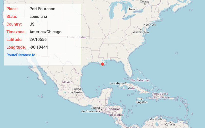
Static map view of Port Fourchon, Louisiana
Browse Places by Distance
Places within specific distances from Port Fourchon
Short Distances
Long Distances
Click any distance to see all places within that range from Port Fourchon. Distances shown in miles (1 mile ≈ 1.61 kilometers).