Distance to Port Gamble, Washington

Calculating Your Route
Just a moment while we process your request...
Location Information
-
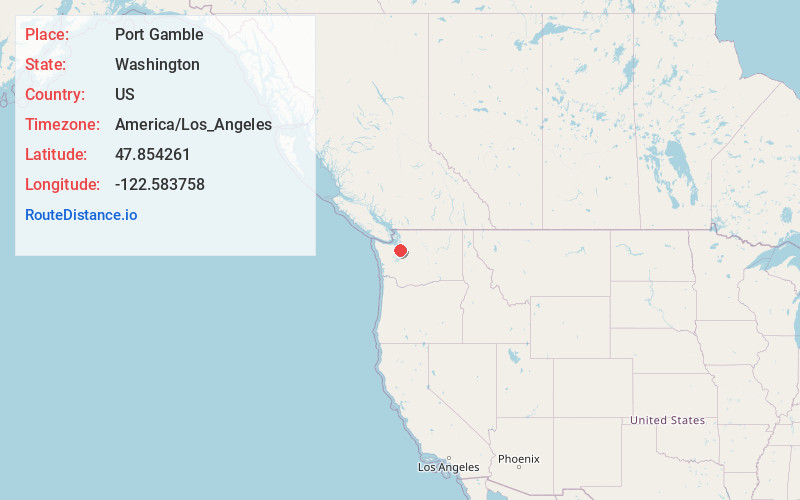
Full AddressPort Gamble, WA 98370
-
Coordinates47.8542606, -122.5837581
-
LocationPort Gamble , Washington , US
-
TimezoneAmerica/Los_Angeles
-
Current Local Time1:39:52 PM America/Los_AngelesTuesday, June 17, 2025
-
Page Views0
About Port Gamble
Port Gamble is an unincorporated community on the northwestern shore of the Kitsap Peninsula in Kitsap County, Washington, United States. It is also a small, eponymous bay, along which the community lies, near the entrance to Hood Canal.


Nearby Places
Found 10 places within 50 miles

Lofall
4.5 mi
7.2 km
Lofall, WA 98370
Get directions

Hansville
4.7 mi
7.6 km
Hansville, WA
Get directions

Kingston
5.5 mi
8.9 km
Kingston, WA 98346
Get directions

Port Ludlow
6.7 mi
10.8 km
Port Ludlow, WA
Get directions

Indianola
7.9 mi
12.7 km
Indianola, WA
Get directions

Suquamish
8.6 mi
13.8 km
Suquamish, WA
Get directions

Poulsbo
8.7 mi
14.0 km
Poulsbo, WA 98370
Get directions

Edmonds
10.0 mi
16.1 km
Edmonds, WA
Get directions

Woodway
10.1 mi
16.3 km
Woodway, WA 98020
Get directions

Bangor Base
11.1 mi
17.9 km
Bangor Base, WA
Get directions
Location Links
Local Weather
Weather Information
Coming soon!
Location Map
Static map view of Port Gamble, Washington
Browse Places by Distance
Places within specific distances from Port Gamble
Short Distances
Long Distances
Click any distance to see all places within that range from Port Gamble. Distances shown in miles (1 mile ≈ 1.61 kilometers).