Distance to Port Herman, Maryland

Calculating Your Route
Just a moment while we process your request...
Location Information
-
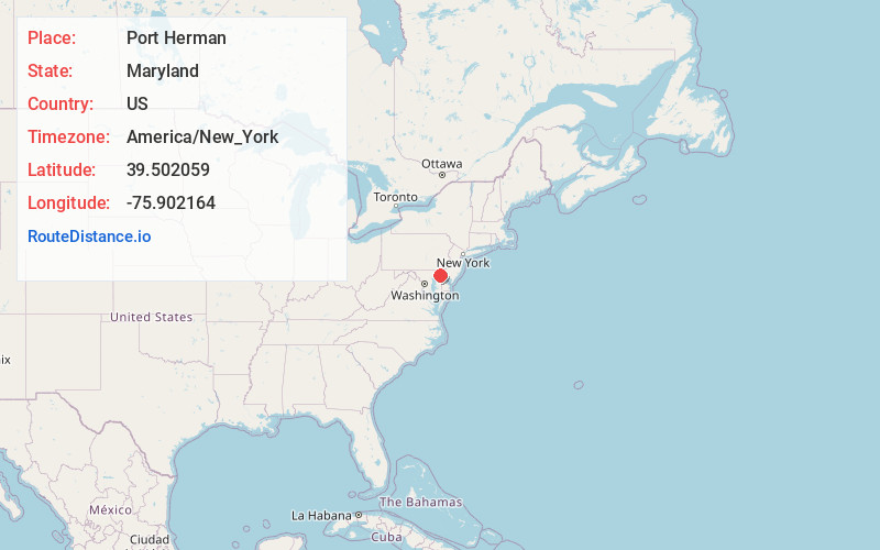
Full AddressPort Herman, MD 21915
-
Coordinates39.5020593, -75.902164
-
LocationMaryland , US
-
TimezoneAmerica/New_York
-
Current Local Time6:57:50 PM America/New_YorkTuesday, June 3, 2025
-
Page Views0
Nearby Places
Found 10 places within 50 miles

Green Haven
1.8 mi
2.9 km
Green Haven, MD 21921
Get directions
Randalia
2.0 mi
3.2 km
Randalia, MD 21915
Get directions
Cayots
3.1 mi
5.0 km
Cayots, MD 21915
Get directions
Elkmore
4.0 mi
6.4 km
Elkmore, MD 21921
Get directions
Dans
4.5 mi
7.2 km
Dans, MD 21921
Get directions
St Augustine
5.0 mi
8.0 km
St Augustine, MD 21912
Get directions

Earleville
6.0 mi
9.7 km
Earleville, MD 21919
Get directions

Charlestown
6.3 mi
10.1 km
Charlestown, MD
Get directions

Cecilton
7.0 mi
11.3 km
Cecilton, MD
Get directions
Bacon Hill
7.1 mi
11.4 km
Bacon Hill, MD 21921
Get directions
Location Links
Local Weather
Weather Information
Coming soon!
Location Map
Static map view of Port Herman, Maryland
Browse Places by Distance
Places within specific distances from Port Herman
Short Distances
Long Distances
Click any distance to see all places within that range from Port Herman. Distances shown in miles (1 mile ≈ 1.61 kilometers).