Distance to Port Hobron, Alaska

Calculating Your Route
Just a moment while we process your request...
Location Information
-
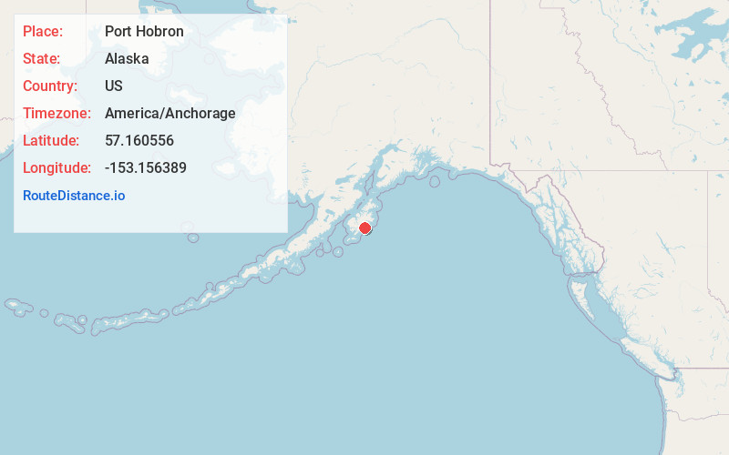
Full AddressPort Hobron, AK
-
Coordinates57.1605556, -153.1563889
-
LocationAlaska , US
-
TimezoneAmerica/Anchorage
-
Current Local Time11:54:19 PM America/AnchorageMonday, June 9, 2025
-
Page Views0
Nearby Places
Found 9 places within 50 miles

Old Harbor
6.3 mi
10.1 km
Old Harbor, AK
Get directions

Port O'Brien
39.9 mi
64.2 km
Port O'Brien, AK 99615
Get directions

Larsen Bay
40.3 mi
64.9 km
Larsen Bay, AK
Get directions

Akhiok
40.8 mi
65.7 km
Akhiok, AK 99615
Get directions

Womens Bay
43.7 mi
70.3 km
Womens Bay, AK 99615
Get directions
Uyak
45.5 mi
73.2 km
Uyak, AK 99615
Get directions

Chiniak
47.2 mi
76.0 km
Chiniak, AK 99615
Get directions

Kodiak Station
47.7 mi
76.8 km
Kodiak Station, AK 99615
Get directions
Port Lions
49.9 mi
80.3 km
Port Lions, AK
Get directions
Location Links
Local Weather
Weather Information
Coming soon!
Location Map
Static map view of Port Hobron, Alaska
Browse Places by Distance
Places within specific distances from Port Hobron
Short Distances
Long Distances
Click any distance to see all places within that range from Port Hobron. Distances shown in miles (1 mile ≈ 1.61 kilometers).