Distance to Port Inland, Michigan

Calculating Your Route
Just a moment while we process your request...
Location Information
-
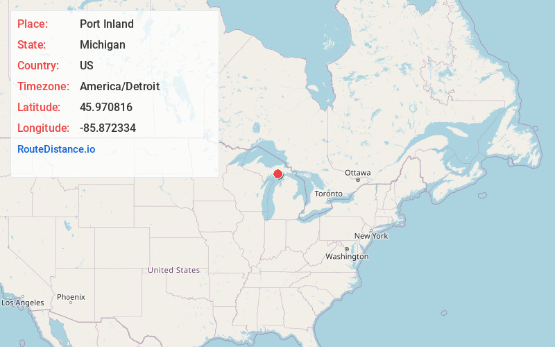
Full AddressPort Inland, MI 49840
-
Coordinates45.970816, -85.8723343
-
LocationPort Inland , Michigan , US
-
TimezoneAmerica/Detroit
-
Current Local Time10:38:57 AM America/DetroitSaturday, May 24, 2025
-
Page Views0
Nearby Places
Found 10 places within 50 miles

Inland
4.6 mi
7.4 km
Inland, MI 49840
Get directions
Gulliver
6.9 mi
11.1 km
Gulliver, MI 49840
Get directions
Corinne
10.8 mi
17.4 km
Corinne, MI 49838
Get directions

Curtis
17.3 mi
27.8 km
Curtis, MI 49820
Get directions

Engadine
17.6 mi
28.3 km
Engadine, MI 49827
Get directions

Manistique
18.0 mi
29.0 km
Manistique, MI 49854
Get directions

Germfask
19.4 mi
31.2 km
Germfask, MI 49836
Get directions
Copenhagen Beach
20.3 mi
32.7 km
Copenhagen Beach, MI 49854
Get directions
Harrison Beach
20.5 mi
33.0 km
Harrison Beach, MI 49854
Get directions
Hiawatha
21.3 mi
34.3 km
Hiawatha, MI 49854
Get directions
Location Links
Local Weather
Weather Information
Coming soon!
Location Map
Static map view of Port Inland, Michigan
Browse Places by Distance
Places within specific distances from Port Inland
Short Distances
Long Distances
Click any distance to see all places within that range from Port Inland. Distances shown in miles (1 mile ≈ 1.61 kilometers).