Distance to Port Isaac, England

Calculating Your Route
Just a moment while we process your request...
Location Information
-
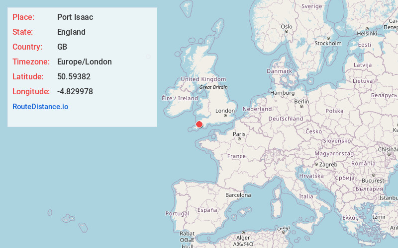
Full AddressPort Isaac, UK
-
Coordinates50.59382, -4.829978
-
LocationPort Isaac , England , GB
-
TimezoneEurope/London
-
Current Local Time12:33:23 AM Europe/LondonFriday, July 4, 2025
-
Page Views0
About Port Isaac
Port Isaac is a small fishing village on the Atlantic coast of north Cornwall, England, in the United Kingdom. The nearest towns are Wadebridge and Camelford, each ten miles away. A nearby hamlet, Port Gaverne, is sometimes considered to be part of Port Isaac.


Nearby Places
Found 1 places within 50 miles

Location Links
Local Weather
Weather Information
Coming soon!
Location Map
Static map view of Port Isaac, England
Browse Places by Distance
Places within specific distances from Port Isaac
Short Distances
Long Distances
Click any distance to see all places within that range from Port Isaac. Distances shown in miles (1 mile ≈ 1.61 kilometers).