Distance to Port Jefferson Station, New York

Calculating Your Route
Just a moment while we process your request...
Location Information
-
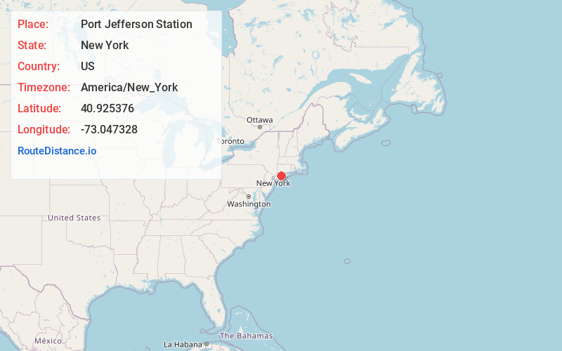
Full AddressPort Jefferson Station, NY
-
Coordinates40.9253764, -73.0473284
-
LocationPort Jefferson Station , New York , US
-
TimezoneAmerica/New_York
-
Current Local Time1:50:28 AM America/New_YorkFriday, June 20, 2025
-
Page Views0
About Port Jefferson Station
Port Jefferson Station is a hamlet and census-designated place in the Town of Brookhaven, in Suffolk County, in New York, United States. The population was 7,838 as of the 2010 census.


Nearby Places
Found 10 places within 50 miles

Terryville
1.5 mi
2.4 km
Terryville, NY 11776
Get directions

Port Jefferson
1.9 mi
3.1 km
Port Jefferson, NY 11777
Get directions

Setauket- East Setauket
2.9 mi
4.7 km
Setauket- East Setauket, NY
Get directions

Miller Place
3.6 mi
5.8 km
Miller Place, NY
Get directions

Stony Brook
4.9 mi
7.9 km
Stony Brook, NY
Get directions

Centereach
5.4 mi
8.7 km
Centereach, NY
Get directions

Lake Grove
6.1 mi
9.8 km
Lake Grove, NY
Get directions

Middle Island
6.2 mi
10.0 km
Middle Island, NY 11953
Get directions

Farmingville
6.6 mi
10.6 km
Farmingville, NY
Get directions

Rocky Point
6.6 mi
10.6 km
Rocky Point, NY
Get directions
Location Links
Local Weather
Weather Information
Coming soon!
Location Map
Static map view of Port Jefferson Station, New York
Browse Places by Distance
Places within specific distances from Port Jefferson Station
Short Distances
Long Distances
Click any distance to see all places within that range from Port Jefferson Station. Distances shown in miles (1 mile ≈ 1.61 kilometers).