Distance to Port Kent, New York

Calculating Your Route
Just a moment while we process your request...
Location Information
-
Full AddressPort Kent, NY
-
Coordinates44.5265409, -73.4090087
-
LocationPort Kent , New York , US
-
TimezoneAmerica/New_York
-
Current Local Time10:21:49 PM America/New_YorkWednesday, June 4, 2025
-
Page Views0
About Port Kent
Port Kent is a hamlet within the town of Chesterfield, Essex County, New York, United States, on the western shore of Lake Champlain. Its population was last recorded as 217. Its ZIP code is 12975.
Seasonal ferry service to Burlington, Vermont, was provided by the Lake Champlain Transportation Company.


Nearby Places
Found 10 places within 50 miles

Keeseville
3.8 mi
6.1 km
Keeseville, NY 12944
Get directions
Chesterfield
6.1 mi
9.8 km
Chesterfield, NY
Get directions

Clintonville
9.5 mi
15.3 km
Clintonville, NY 12924
Get directions

South Hero
9.8 mi
15.8 km
South Hero, VT 05486
Get directions

Schuyler Falls
10.2 mi
16.4 km
Schuyler Falls, NY 12985
Get directions

Burlington
10.3 mi
16.6 km
Burlington, VT
Get directions

Winooski
11.3 mi
18.2 km
Winooski, VT
Get directions

Willsboro
11.7 mi
18.8 km
Willsboro, NY 12996
Get directions

Plattsburgh
12.1 mi
19.5 km
Plattsburgh, NY
Get directions

South Burlington
12.2 mi
19.6 km
South Burlington, VT
Get directions
Location Links
Local Weather
Weather Information
Coming soon!
Location Map
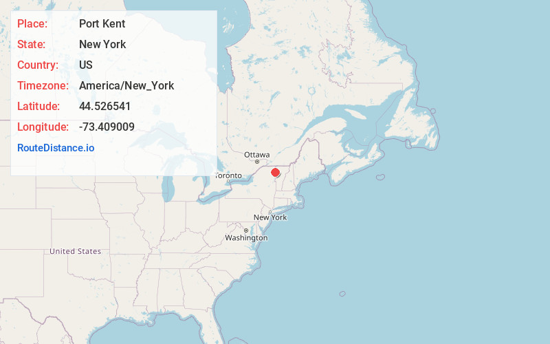
Static map view of Port Kent, New York
Browse Places by Distance
Places within specific distances from Port Kent
Short Distances
Long Distances
Click any distance to see all places within that range from Port Kent. Distances shown in miles (1 mile ≈ 1.61 kilometers).