Distance to Port Leyden, New York

Calculating Your Route
Just a moment while we process your request...
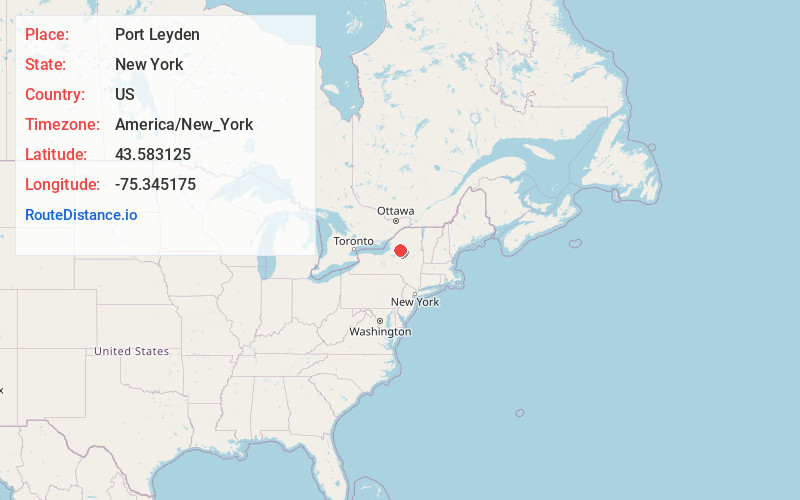
Location Information
-
Full AddressPort Leyden, NY 13433
-
Coordinates43.5831247, -75.3451752
-
LocationPort Leyden , New York , US
-
TimezoneAmerica/New_York
-
Current Local Time4:28:59 PM America/New_YorkSaturday, June 14, 2025
-
Page Views0
About Port Leyden
Port Leyden is a village in Lewis County, New York, United States. The population was 672 at the 2010 census. The name is derived from the village's early history as a port on the Black River Canal.


Nearby Places
Found 10 places within 50 miles

Lyonsdale
3.1 mi
5.0 km
Lyonsdale, NY 13368
Get directions
West Turin
6.8 mi
10.9 km
West Turin, NY
Get directions

Boonville
6.9 mi
11.1 km
Boonville, NY 13309
Get directions

Forestport
12.0 mi
19.3 km
Forestport, NY 13338
Get directions
Martinsburg
12.4 mi
20.0 km
Martinsburg, NY 13367
Get directions
Ava
13.2 mi
21.2 km
Ava, NY 13303
Get directions

Lowville
15.9 mi
25.6 km
Lowville, NY 13367
Get directions

Western
16.6 mi
26.7 km
Western, NY
Get directions
New Bremen
18.2 mi
29.3 km
New Bremen, NY 13367
Get directions
Steuben
18.4 mi
29.6 km
Steuben, NY 13354
Get directions
Location Links
Local Weather
Weather Information
Coming soon!
Location Map
Static map view of Port Leyden, New York
Browse Places by Distance
Places within specific distances from Port Leyden
Short Distances
Long Distances
Click any distance to see all places within that range from Port Leyden. Distances shown in miles (1 mile ≈ 1.61 kilometers).