Distance to Port Orford, Oregon

Calculating Your Route
Just a moment while we process your request...
Location Information
-
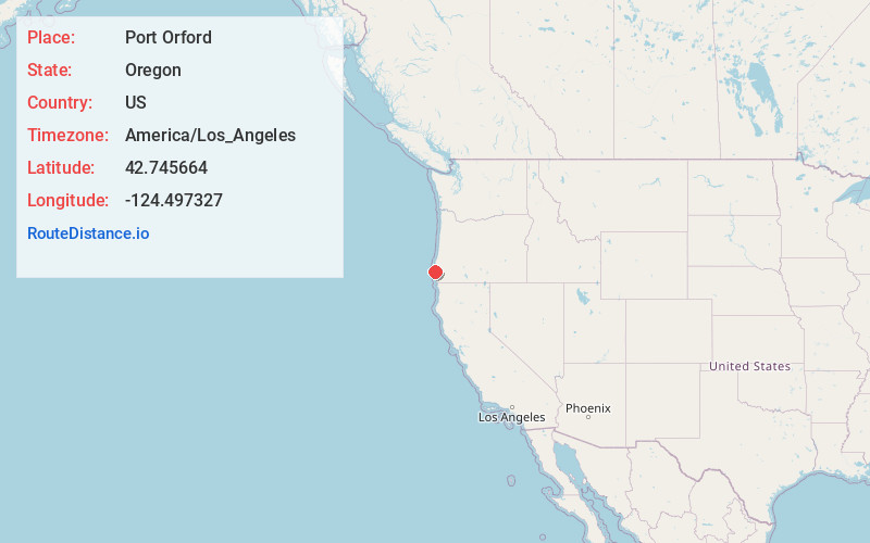
Full AddressPort Orford, OR 97465
-
Coordinates42.7456644, -124.4973267
-
LocationPort Orford , Oregon , US
-
TimezoneAmerica/Los_Angeles
-
Current Local Time1:59:54 AM America/Los_AngelesWednesday, June 18, 2025
-
Website
-
Page Views0
About Port Orford
Port Orford is a city in Curry County on the southern coast of Oregon, United States. The population was 1,133 at the 2010 census.
The city takes its name from George Vancouver's original name for nearby Cape Blanco, which he named for George, Earl of Orford, "a much-respected friend."


Nearby Places
Found 10 places within 50 miles

Gold Beach
23.7 mi
38.1 km
Gold Beach, OR 97444
Get directions

Bandon
26.2 mi
42.2 km
Bandon, OR 97411
Get directions

Myrtle Point
28.6 mi
46.0 km
Myrtle Point, OR 97458
Get directions

Coquille
33.7 mi
54.2 km
Coquille, OR 97423
Get directions

Bunker Hill
44.7 mi
71.9 km
Bunker Hill, OR 97420
Get directions

Coos Bay
45.3 mi
72.9 km
Coos Bay, OR
Get directions

North Bend
47.7 mi
76.8 km
North Bend, OR 97459
Get directions

Brookings
49.1 mi
79.0 km
Brookings, OR 97415
Get directions

Harbor
49.3 mi
79.3 km
Harbor, OR
Get directions

Glasgow
49.8 mi
80.1 km
Glasgow, OR 97459
Get directions
Location Links
Local Weather
Weather Information
Coming soon!
Location Map
Static map view of Port Orford, Oregon
Browse Places by Distance
Places within specific distances from Port Orford
Short Distances
Long Distances
Click any distance to see all places within that range from Port Orford. Distances shown in miles (1 mile ≈ 1.61 kilometers).