Distance to Port Wing, Wisconsin

Calculating Your Route
Just a moment while we process your request...
Location Information
-
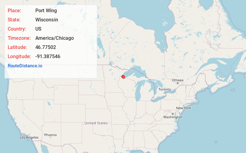
Full AddressPort Wing, WI 54865
-
Coordinates46.7750203, -91.3875458
-
LocationPort Wing , Wisconsin , US
-
TimezoneAmerica/Chicago
-
Current Local Time11:02:33 PM America/ChicagoThursday, June 19, 2025
-
Page Views0
About Port Wing
Port Wing is an unincorporated census-designated place in the town of Port Wing, Bayfield County, Wisconsin, United States. The community is along Wisconsin Highway 13 and Bayfield County Highway A. It is 30 miles west of Bayfield. The Flag River enters Lake Superior at Port Wing's harbor.


Nearby Places
Found 10 places within 50 miles

Iron River
14.6 mi
23.5 km
Iron River, WI 54847
Get directions

Brule
17.8 mi
28.6 km
Brule, WI
Get directions

Two Harbors
21.7 mi
34.9 km
Two Harbors, MN 55616
Get directions

Lake Nebagamon
23.3 mi
37.5 km
Lake Nebagamon, WI 54849
Get directions

Poplar
23.6 mi
38.0 km
Poplar, WI
Get directions

Washburn
24.4 mi
39.3 km
Washburn, WI 54891
Get directions

Ashland
27.0 mi
43.5 km
Ashland, WI
Get directions

Bayfield
27.0 mi
43.5 km
Bayfield, WI 54814
Get directions

Duluth
34.0 mi
54.7 km
Duluth, MN
Get directions

Superior
34.1 mi
54.9 km
Superior, WI
Get directions
Location Links
Local Weather
Weather Information
Coming soon!
Location Map
Static map view of Port Wing, Wisconsin
Browse Places by Distance
Places within specific distances from Port Wing
Short Distances
Long Distances
Click any distance to see all places within that range from Port Wing. Distances shown in miles (1 mile ≈ 1.61 kilometers).