Distance to Portage Creek, Alaska

Calculating Your Route
Just a moment while we process your request...
Location Information
-
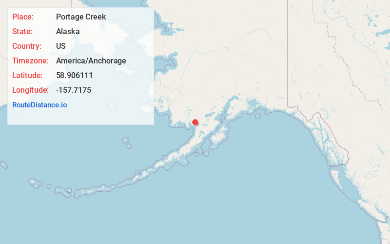
Full AddressPortage Creek, AK
-
Coordinates58.9061111, -157.7175001
-
LocationPortage Creek , Alaska , US
-
TimezoneAmerica/Anchorage
-
Current Local Time9:15:41 AM America/AnchorageWednesday, June 18, 2025
-
Page Views0
About Portage Creek
Portage Creek is a census-designated place in Dillingham Census Area, Alaska, United States. The population was 2 at the 2010 census, down from 36 at the 2000 census.
Nearby Places
Found 10 places within 50 miles

Dillingham
28.1 mi
45.2 km
Dillingham, AK 99576
Get directions

Naknek
28.2 mi
45.4 km
Naknek, AK 99633
Get directions

South Naknek
28.7 mi
46.2 km
South Naknek, AK
Get directions

Clark's Point
29.5 mi
47.5 km
Clark's Point, AK
Get directions
Ekwok
31.9 mi
51.3 km
Ekwok, AK
Get directions
Levelock
33.6 mi
54.1 km
Levelock, AK
Get directions
New Stuyahok
40.3 mi
64.9 km
New Stuyahok, AK
Get directions

King Salmon
40.6 mi
65.3 km
King Salmon, AK
Get directions

Aleknagik
41.2 mi
66.3 km
Aleknagik, AK
Get directions
Manokotak
48.0 mi
77.2 km
Manokotak, AK
Get directions
Location Links
Local Weather
Weather Information
Coming soon!
Location Map
Static map view of Portage Creek, Alaska
Browse Places by Distance
Places within specific distances from Portage Creek
Short Distances
Long Distances
Click any distance to see all places within that range from Portage Creek. Distances shown in miles (1 mile ≈ 1.61 kilometers).