Distance to Portage, Michigan

Calculating Your Route
Just a moment while we process your request...
Location Information
-
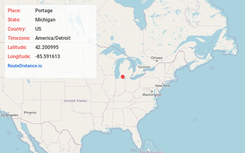
Full AddressPortage, MI
-
Coordinates42.2009945, -85.591613
-
LocationPortage , Michigan , US
-
TimezoneAmerica/Detroit
-
Current Local Time4:02:10 AM America/DetroitThursday, June 19, 2025
-
Website
-
Page Views0
About Portage
Portage is a city in Kalamazoo County, Michigan, United States. The population was 48,891 at the 2020 census. It is the smaller of the two main cities included in the Kalamazoo-Portage Metropolitan Statistical Area, which had a population of 261,670 in 2020.


Nearby Places
Found 8 places within 50 miles

Kalamazoo
6.1 mi
9.8 km
Kalamazoo, MI
Get directions

Battle Creek
22.6 mi
36.4 km
Battle Creek, MI
Get directions

Elkhart
40.6 mi
65.3 km
Elkhart, IN
Get directions

Kentwood
46.3 mi
74.5 km
Kentwood, MI
Get directions

Mishawaka
47.3 mi
76.1 km
Mishawaka, IN
Get directions

Holland
48.5 mi
78.1 km
Holland, MI 49423
Get directions

Wyoming
49.6 mi
79.8 km
Wyoming, MI
Get directions

South Bend
49.7 mi
80.0 km
South Bend, IN
Get directions
Location Links
Local Weather
Weather Information
Coming soon!
Location Map
Static map view of Portage, Michigan
Browse Places by Distance
Places within specific distances from Portage
Short Distances
Long Distances
Click any distance to see all places within that range from Portage. Distances shown in miles (1 mile ≈ 1.61 kilometers).