Distance to Porters Sideling, Pennsylvania

Calculating Your Route
Just a moment while we process your request...
Location Information
-
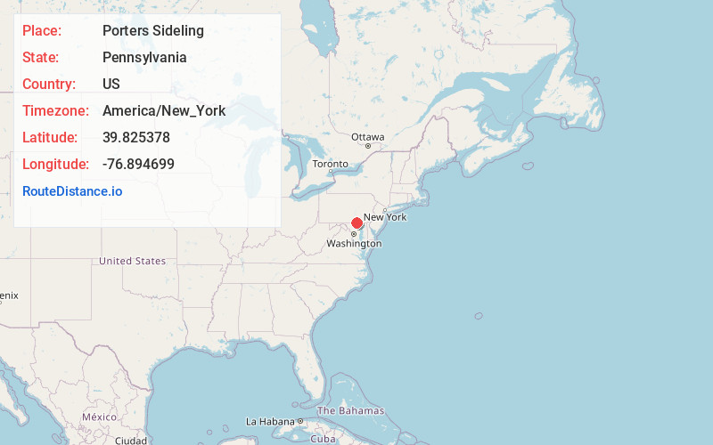
Full AddressPorters Sideling, PA 17362
-
Coordinates39.8253779, -76.8946989
-
LocationPorters Sideling , Pennsylvania , US
-
TimezoneAmerica/New_York
-
Current Local Time4:57:49 AM America/New_YorkTuesday, July 1, 2025
-
Page Views0
About Porters Sideling
Porters Sideling is an unincorporated community located in Heidelberg Township in York County, Pennsylvania, United States. Porters Sideling is located approximately one mile southeast of Pennsylvania Route 116 and is about eight miles away from Codorus State Park.
Nearby Places
Found 10 places within 50 miles

Lehman
3.3 mi
5.3 km
Lehman, North Codorus Township, PA 17362
Get directions

Spring Grove
3.7 mi
6.0 km
Spring Grove, PA 17362
Get directions
Parkville
4.8 mi
7.7 km
Parkville, PA 17331
Get directions

Hanover
5.0 mi
8.0 km
Hanover, PA 17331
Get directions
Martin
5.2 mi
8.4 km
Martin, Jackson Township, PA 17362
Get directions
North Codorus Township
5.2 mi
8.4 km
North Codorus Township, PA
Get directions
Green Springs
6.0 mi
9.7 km
Green Springs, PA 17331
Get directions
Pennville
6.0 mi
9.7 km
Pennville, PA 17331
Get directions

McSherrystown
6.3 mi
10.1 km
McSherrystown, PA 17344
Get directions

Abbottstown
6.4 mi
10.3 km
Abbottstown, PA 17301
Get directions
Location Links
Local Weather
Weather Information
Coming soon!
Location Map
Static map view of Porters Sideling, Pennsylvania
Browse Places by Distance
Places within specific distances from Porters Sideling
Short Distances
Long Distances
Click any distance to see all places within that range from Porters Sideling. Distances shown in miles (1 mile ≈ 1.61 kilometers).