Distance to Potlatch, Idaho

Calculating Your Route
Just a moment while we process your request...
Location Information
-
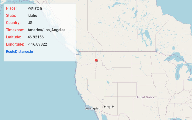
Full AddressPotlatch, ID 83855
-
Coordinates46.9215603, -116.8982195
-
LocationPotlatch , Idaho , US
-
TimezoneAmerica/Los_Angeles
-
Current Local Time12:02:36 AM America/Los_AngelesFriday, May 23, 2025
-
Website
-
Page Views0
About Potlatch
Potlatch is a city in the northwest United States, located in north central Idaho in Latah County, about six miles east of the border with Washington. On the Palouse north of Moscow, it is served by State Highway 6, and bordered on the northeast by the small community of Onaway.


Nearby Places
Found 10 places within 50 miles

Palouse
8.4 mi
13.5 km
Palouse, WA 99161
Get directions

Moscow
13.9 mi
22.4 km
Moscow, ID
Get directions

Troy
14.1 mi
22.7 km
Troy, ID 83871
Get directions

Pullman
18.8 mi
30.3 km
Pullman, WA 99163
Get directions

Colfax
22.2 mi
35.7 km
Colfax, WA 99111
Get directions

Genesee
25.7 mi
41.4 km
Genesee, ID 83832
Get directions

Plummer
28.6 mi
46.0 km
Plummer, ID 83851
Get directions

St Maries
31.4 mi
50.5 km
St Maries, ID 83861
Get directions

Clarkston
35.6 mi
57.3 km
Clarkston, WA 99403
Get directions

Lapwai
36.0 mi
57.9 km
Lapwai, ID
Get directions
Location Links
Local Weather
Weather Information
Coming soon!
Location Map
Static map view of Potlatch, Idaho
Browse Places by Distance
Places within specific distances from Potlatch
Short Distances
Long Distances
Click any distance to see all places within that range from Potlatch. Distances shown in miles (1 mile ≈ 1.61 kilometers).