Distance to Potowomut, Rhode Island

Calculating Your Route
Just a moment while we process your request...
Location Information
-
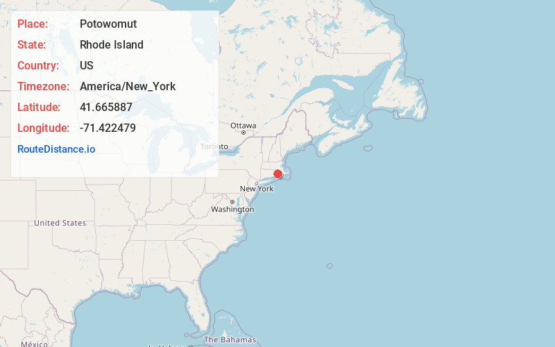
Full AddressPotowomut, Warwick, RI 02818
-
Coordinates41.6658867, -71.4224789
-
NeighborhoodPotowomut
-
LocationWarwick , Rhode Island , US
-
TimezoneAmerica/New_York
-
Current Local Time8:17:27 PM America/New_YorkFriday, June 6, 2025
-
Page Views0
About Potowomut
Potowomut is an isolated neighborhood and a peninsula in Warwick, Rhode Island. It is bordered by the Town of East Greenwich to the northwest, and by North Kingstown to the southeast. Greenwich Bay surrounds all other sides.

Nearby Places
Found 10 places within 50 miles

North Quidnessett
1.9 mi
3.1 km
North Quidnessett, North Kingstown, RI 02852
Get directions
Mt View
2.2 mi
3.5 km
Mt View, North Kingstown, RI 02852
Get directions
Quidnessett
3.1 mi
5.0 km
Quidnessett, North Kingstown, RI 02852
Get directions

Coggeshall Cove
3.9 mi
6.3 km
Coggeshall Cove, Portsmouth, RI
Get directions
Frenchtown
4.5 mi
7.2 km
Frenchtown, East Greenwich, RI 02818
Get directions

East Greenwich
5.2 mi
8.4 km
East Greenwich, RI 02818
Get directions
Kiefer Park
5.3 mi
8.5 km
Kiefer Park, North Kingstown, RI 02852
Get directions

West Warwick
5.6 mi
9.0 km
West Warwick, RI 02893
Get directions
Centerville
5.6 mi
9.0 km
Centerville, West Warwick, RI 02893
Get directions
Shore Acres
5.8 mi
9.3 km
Shore Acres, North Kingstown, RI 02852
Get directions
Location Links
Local Weather
Weather Information
Coming soon!
Location Map
Static map view of Potowomut, Rhode Island
Browse Places by Distance
Places within specific distances from Potowomut
Short Distances
Long Distances
Click any distance to see all places within that range from Potowomut. Distances shown in miles (1 mile ≈ 1.61 kilometers).