Distance to Potshot Lake, Minnesota

Calculating Your Route
Just a moment while we process your request...
Location Information
-
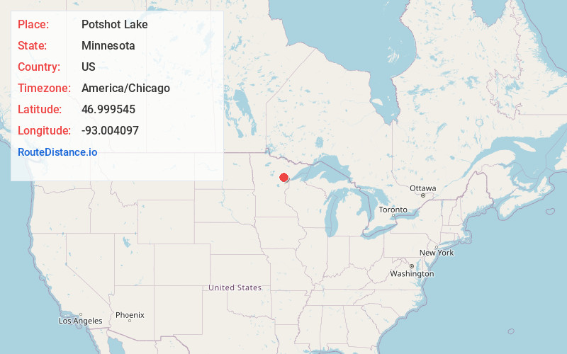
Full AddressPotshot Lake, MN 55736
-
Coordinates46.9995454, -93.0040972
-
LocationPotshot Lake , Minnesota , US
-
TimezoneAmerica/Chicago
-
Current Local Time2:07:27 PM America/ChicagoMonday, June 23, 2025
-
Page Views0
About Potshot Lake
Potshot Lake is an unorganized territory in Saint Louis County, Minnesota, United States, located near Floodwood. The population was 73 at the 2000 census.
Nearby Places
Found 10 places within 50 miles

Floodwood
6.3 mi
10.1 km
Floodwood, MN 55736
Get directions

Wawina
6.6 mi
10.6 km
Wawina, MN 55736
Get directions
Swan River
10.8 mi
17.4 km
Swan River, MN
Get directions
Gowan
11.9 mi
19.2 km
Gowan, MN 55736
Get directions
Goodland
12.8 mi
20.6 km
Goodland, MN 55742
Get directions
Elmer
12.9 mi
20.8 km
Elmer, MN 55765
Get directions
Ball Bluff
13.1 mi
21.1 km
Ball Bluff, MN 55784
Get directions
Cornish Township
13.1 mi
21.1 km
Cornish Township, MN
Get directions

Prairie Lake Township
13.4 mi
21.6 km
Prairie Lake Township, MN
Get directions

Meadowlands
13.7 mi
22.0 km
Meadowlands, MN 55765
Get directions
Location Links
Local Weather
Weather Information
Coming soon!
Location Map
Static map view of Potshot Lake, Minnesota
Browse Places by Distance
Places within specific distances from Potshot Lake
Short Distances
Long Distances
Click any distance to see all places within that range from Potshot Lake. Distances shown in miles (1 mile ≈ 1.61 kilometers).