Distance to Pottsville, Pennsylvania

Calculating Your Route
Just a moment while we process your request...
Location Information
-
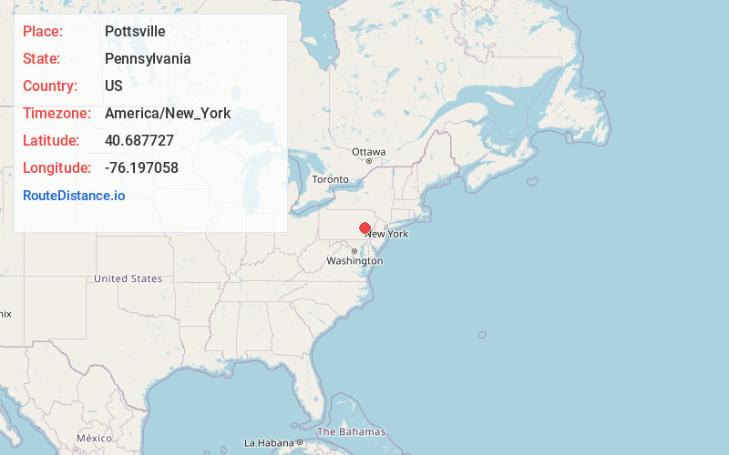
Full AddressPottsville, PA 17901
-
Coordinates40.6877265, -76.1970575
-
LocationPottsville , Pennsylvania , US
-
TimezoneAmerica/New_York
-
Current Local Time7:42:43 AM America/New_YorkSunday, June 1, 2025
-
Website
-
Page Views0
About Pottsville
Pottsville is a city and the county seat of Schuylkill County, Pennsylvania, United States. The population was 13,346 at the 2020 census, and is the principal city of the Pottsville, PA Micropolitan Statistical Area. The city lies along the west bank of the Schuylkill River, 52 miles south of Wilkes-Barre.


Nearby Places
Found 10 places within 50 miles

Hazleton
22.0 mi
35.4 km
Hazleton, PA
Get directions

Richland
23.2 mi
37.3 km
Richland, PA
Get directions

Lebanon
26.9 mi
43.3 km
Lebanon, PA
Get directions

Reading
28.2 mi
45.4 km
Reading, PA
Get directions

Upper Macungie Township
30.7 mi
49.4 km
Upper Macungie Township, PA
Get directions

Cumru Township
31.4 mi
50.5 km
Cumru Township, PA
Get directions

North Whitehall Township
32.0 mi
51.5 km
North Whitehall Township, PA
Get directions

Lower Macungie Township
34.8 mi
56.0 km
Lower Macungie Township, PA
Get directions
South Whitehall Township
34.8 mi
56.0 km
South Whitehall Township, PA
Get directions

Ephrata
35.1 mi
56.5 km
Ephrata, PA 17522
Get directions
Location Links
Local Weather
Weather Information
Coming soon!
Location Map
Static map view of Pottsville, Pennsylvania
Browse Places by Distance
Places within specific distances from Pottsville
Short Distances
Long Distances
Click any distance to see all places within that range from Pottsville. Distances shown in miles (1 mile ≈ 1.61 kilometers).