Distance to Pottsville, Texas

Calculating Your Route
Just a moment while we process your request...
Location Information
-
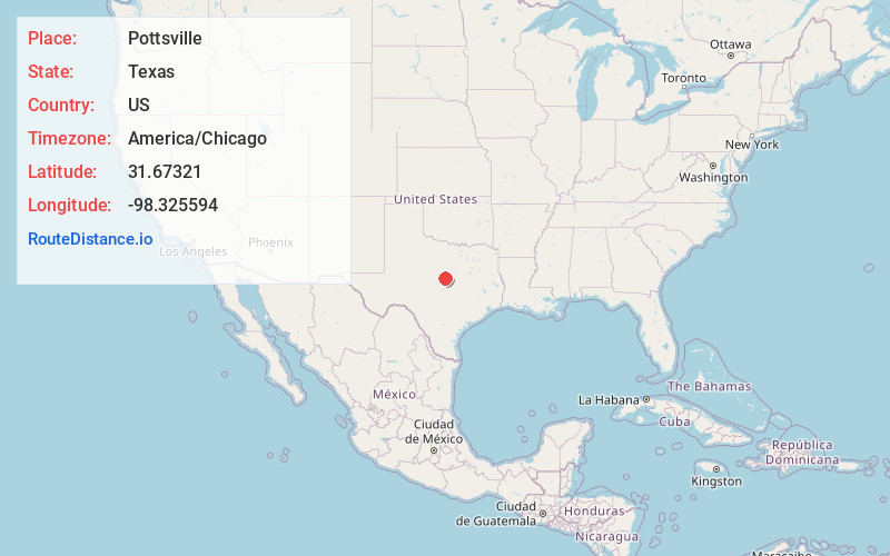
Full AddressPottsville, TX 76565
-
Coordinates31.6732104, -98.3255943
-
LocationPottsville , Texas , US
-
TimezoneAmerica/Chicago
-
Current Local Time2:25:44 PM America/ChicagoMonday, June 2, 2025
-
Page Views0
About Pottsville
Pottsville is an unincorporated community located in western Hamilton County in Central Texas, United States.
Nearby Places
Found 10 places within 50 miles

Priddy
10.8 mi
17.4 km
Priddy, TX 76442
Get directions

Hamilton
12.0 mi
19.3 km
Hamilton, TX 76531
Get directions

Gustine
12.7 mi
20.4 km
Gustine, TX 76455
Get directions

Evant
17.0 mi
27.4 km
Evant, TX 76525
Get directions

Carlton
19.2 mi
30.9 km
Carlton, TX
Get directions

Whiteway
20.9 mi
33.6 km
Whiteway, TX 76538
Get directions

Goldthwaite
21.1 mi
34.0 km
Goldthwaite, TX 76844
Get directions
Mullin
21.6 mi
34.8 km
Mullin, TX 76864
Get directions

Comanche
22.5 mi
36.2 km
Comanche, TX 76442
Get directions
Proctor
22.6 mi
36.4 km
Proctor, TX 76446
Get directions
Location Links
Local Weather
Weather Information
Coming soon!
Location Map
Static map view of Pottsville, Texas
Browse Places by Distance
Places within specific distances from Pottsville
Short Distances
Long Distances
Click any distance to see all places within that range from Pottsville. Distances shown in miles (1 mile ≈ 1.61 kilometers).